
Haugschlag, municipality in Gmünd District, Lower Austria, Austria
Location: Gmünd District
Elevation above the sea: 585 m
Shares border with: Stráž nad Nežárkou
Email: gemeinde@haugschlag.gv.at
Website: http://haugschlag.at
GPS coordinates: 48.99722,15.05833
Latest update: March 3, 2025 02:14
Ancient and Primeval Beech Forests of the Carpathians and Other Regions of Europe
4.3 km
Zámek Nová Bystřice
4.2 km
Holy Trinity column in Nová Bystřice
4.1 km
Blanko
1.9 km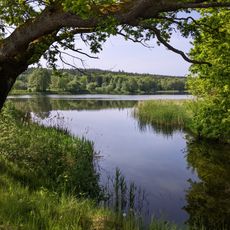
Mnišský rybník
3.4 km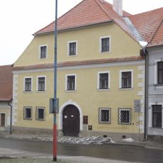
Fara
4.1 km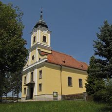
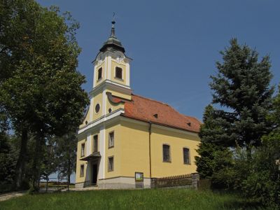
Haugschlag Parish Church
134 m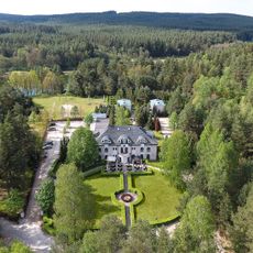
Hotel Peršlák
3.5 km
Golfclub Haugschlag-Waldviertel
766 m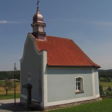
Ortskapelle Türnau
1.6 km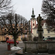
Fountain with a statue of St. Luke in Nová Bystřice
4.1 km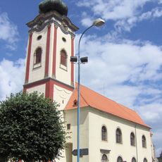
Church of Saints Peter and Paul
4.2 km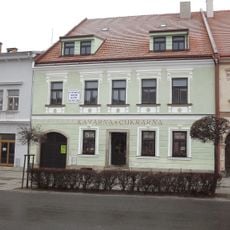
Dům čp. 56
4.1 km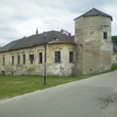
Pivovar Nová Bystřice
4.3 km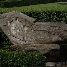
Kámen republiky
3.5 km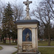
Výklenková kaplička Panny Marie
4.2 km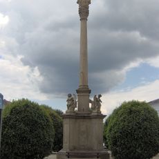
Sloup se sousoším Nejsvětější Trojice
3.9 km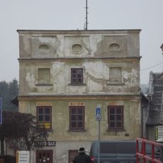
Dům čp. 42
4 km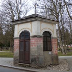
Kaple v Nové Bystřici
4.2 km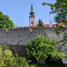
Městské opevnění
4.1 km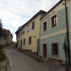
Dům čp. 181
4 km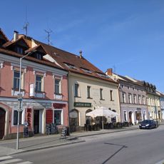
Dům čp. 25
4 km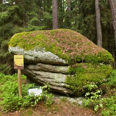
Fiedelstein
2.2 km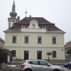
Dům čp. 59
4.1 km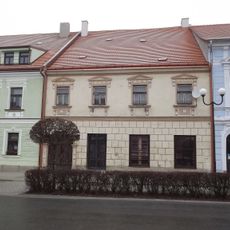
Dům čp. 57
4.1 km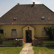
Pfarrhof Haugschlag
109 m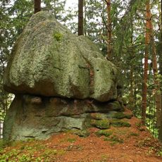
Hutstein
327 m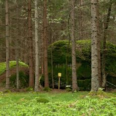
Wilde Jagd ("Wild hunt")
2.3 kmReviews
Visited this place? Tap the stars to rate it and share your experience / photos with the community! Try now! You can cancel it anytime.
Discover hidden gems everywhere you go!
From secret cafés to breathtaking viewpoints, skip the crowded tourist spots and find places that match your style. Our app makes it easy with voice search, smart filtering, route optimization, and insider tips from travelers worldwide. Download now for the complete mobile experience.

A unique approach to discovering new places❞
— Le Figaro
All the places worth exploring❞
— France Info
A tailor-made excursion in just a few clicks❞
— 20 Minutes