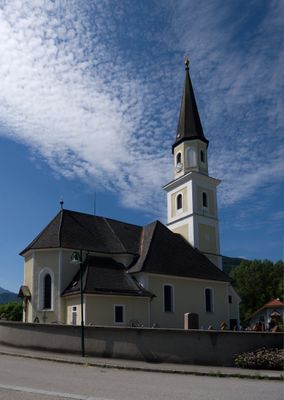
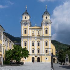
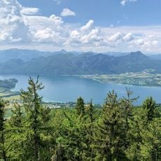
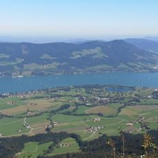
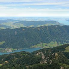
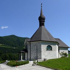
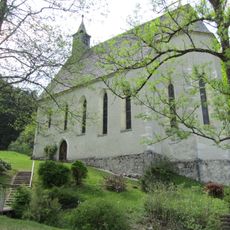
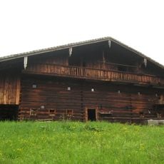
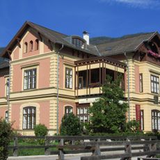
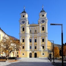
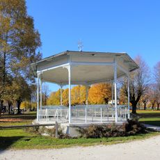
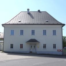
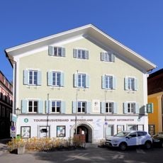
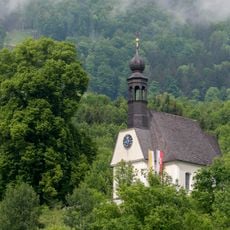
Oberwang, municipality in Vöcklabruck District, Upper Austria, Austria
Location: Vöcklabruck District
Elevation above the sea: 573 m
Shares border with: Straß im Attergau, Nußdorf am Attersee, Unterach am Attersee, Innerschwand am Mondsee, Tiefgraben
Email: gemeinde@oberwang.ooe.gv.at
Website: http://oberwang.at
GPS coordinates: 47.86694,13.43333
Latest update: April 9, 2025 07:58
Mondsee Abbey
6.3 km
Kloster Mondsee - Pfarrkirche St.Michael
6.3 km
Kulmspitze
2.7 km
Mondseeberg
4.7 km
Hochplettspitz
5.7 km
Bauernmuseum Mondsee
6 km
Filialkirche Innerschwand am Mondsee
4.6 km
Konradskirche Oberwang
560 m
Hilfbergkirche Mondsee
6 km
Freilichtmuseum Mondseer Rauchhaus, Bischofergut
6 km
Judas-Thaddäus-Kapelle
6.2 km
Konradsbrunnen-Kapelle, Innerschwand
1.6 km
Seekapelle
6.2 km
Hütte mit Getreidekasten, Mondsee
6.1 km
Seerestaurant Mondsee
6.4 km
Villa Uhl, Strindberg-Villa
6.2 km
Gesamtanlage Schloss Mondsee
6.2 km
Mausoleum Viktor Kaplan
6.9 km
Alte Schule
128 m
Musikpavillon
6.4 km
Pfarrhof mit Ummauerung
165 m
Ehem. Bürgerspital
6.3 km
Bildstock
5.9 km
Frühmittelalterliche und Römische Befunde Kloster Mondsee
6.2 km
Schloss Mondsee, ehem. Wirtschaftsgebäude
6.3 km
Lindenallee in Mondsee
6.3 km
Bürgerhaus, ehem. Spitalskirche Zum Hl. Geist
6.3 km
Linde bei der Hilfbergkirche
6 kmReviews
Visited this place? Tap the stars to rate it and share your experience / photos with the community! Try now! You can cancel it anytime.
Discover hidden gems everywhere you go!
From secret cafés to breathtaking viewpoints, skip the crowded tourist spots and find places that match your style. Our app makes it easy with voice search, smart filtering, route optimization, and insider tips from travelers worldwide. Download now for the complete mobile experience.
A unique approach to discovering new places❞
— Le Figaro
All the places worth exploring❞
— France Info
A tailor-made excursion in just a few clicks❞
— 20 Minutes