
Michaelnbach, municipality in Grieskirchen District, Upper Austria, Austria
Location: Grieskirchen District
Elevation above the sea: 394 m
Shares border with: Sankt Thomas, Pollham, Tollet, Pötting, Peuerbach, Waizenkirchen, Prambachkirchen
Email: gemeinde@michaelnbach.ooe.gv.at
Website: http://michaelnbach.at
GPS coordinates: 48.28861,13.83250
Latest update: March 4, 2025 03:08
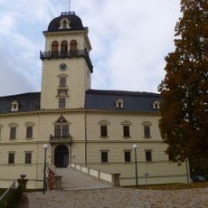
Schloss Tollet
5.5 km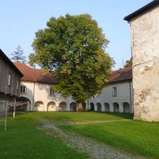
Schloss Weidenholz
5.2 km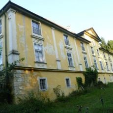
Schloss Hochscharten
5.4 km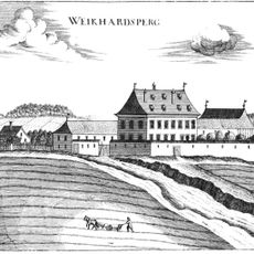
Gut Waikhartsberg
3.8 km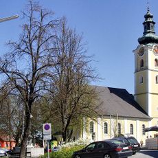
Sankt Peter und Paul
4.9 km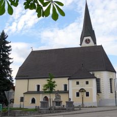
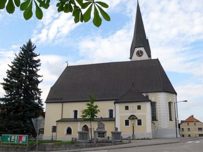
Pfarrkirche Michaelnbach
78 m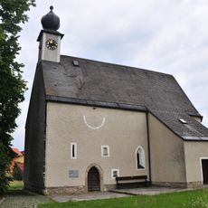
Filialkirche Oberwödling
3.6 km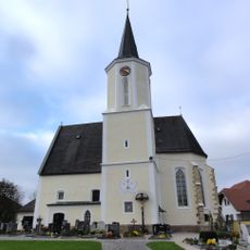
Pfarrkirche St. Thomas bei Waizenkirchen
3.6 km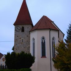
Pfarrkirche Pollham
3.5 km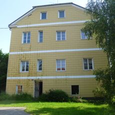
Schloss Bruck
6.2 km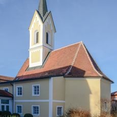
Spitalskapelle hl. Nikolaus
4.7 km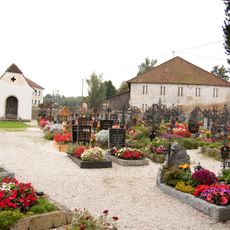
Friedhof mit Totenkapelle
3.5 km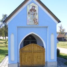
Wegkapelle Pulsamer
3 km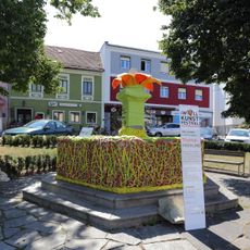
Marktbrunnen
4.9 km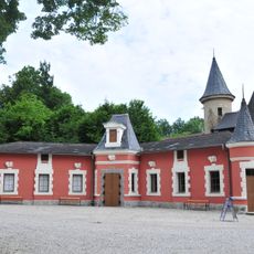
Schloss Tollet - Pferdestall
5.4 km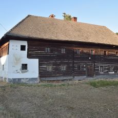
Illigut - Kaltenbach
4.2 km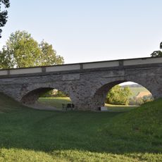
Portal- oder Toranlage
5.4 km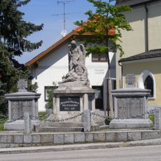
Kriegerdenkmal für die Gefallenen des Ersten Weltkriegs
92 m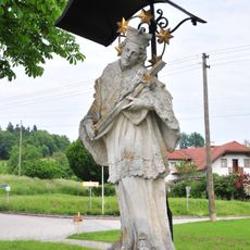
Figurenbildstock hl. Johannes Nepomuk
5.3 km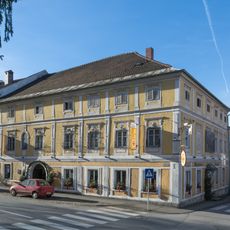
Gasthaus Zum Weißen Lamm
4.9 km
Alte Volksschule
4.9 km
Pfarrhof
3.5 km
Pfarrheim, ehem. Mesnerhaus, ehem. Schule
3.5 km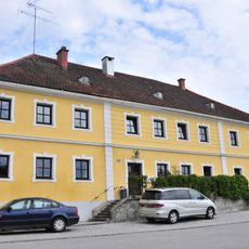
Verwalterhaus
5.4 km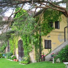
Nebengebäude
5.4 km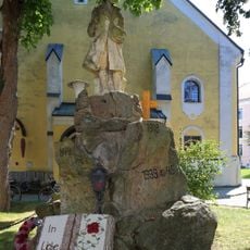
Kriegerdenkmal
4.9 km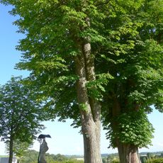
Zwei Rosskastanienbäume beim Schloss Tollet
5.3 km
Linde in Waizenkirchen
5.1 kmReviews
Visited this place? Tap the stars to rate it and share your experience / photos with the community! Try now! You can cancel it anytime.
Discover hidden gems everywhere you go!
From secret cafés to breathtaking viewpoints, skip the crowded tourist spots and find places that match your style. Our app makes it easy with voice search, smart filtering, route optimization, and insider tips from travelers worldwide. Download now for the complete mobile experience.

A unique approach to discovering new places❞
— Le Figaro
All the places worth exploring❞
— France Info
A tailor-made excursion in just a few clicks❞
— 20 Minutes