
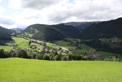
Forstau, municipality in St. Johann/Pongau District, Salzburg, Austria
Location: Sankt Johann im Pongau District
Elevation above the sea: 923 m
Email: gemeinde@forstau.at
Website: http://forstau.at
GPS coordinates: 47.36667,13.51667
Latest update: March 25, 2025 03:26
Hochwurzen
9.3 km
Steirische Kalkspitze
12.2 km
Lungauer Kalkspitze
13.3 km
Hochwurzen
9.3 km
Seekarspitze
10.6 km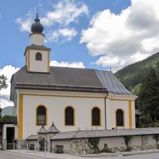
Pfarrkirche Untertauern
7 km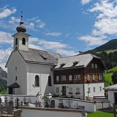
Pfarrkirche zum Hl. Leonhard, Forstau
2.9 km
Strimskogel
7 km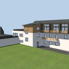
Forstau
2.9 km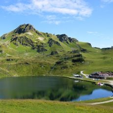
Grünwaldsee
11.8 km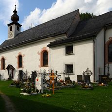
Pfarrkirche hl. Jakobus d. Ä., Pichl-Preunegg
7.6 km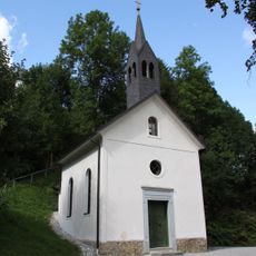
Lourdeskapelle Forstau
2.9 km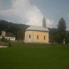
Herz Jesu Kapelle, Radstadt
3.8 km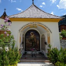
Friedhofskapelle Untertauern
7 km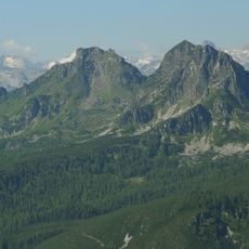
Hinterer Geißstein
6.9 km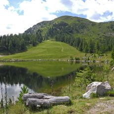
Gasselhöhe
5.9 km
Stricklehen
7.8 km
Rossfeld
9.6 km
Schober
7.1 km
Pfarrhof Forstau
2.9 km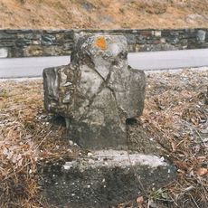
Franzosenkreuz Mandling
5.4 km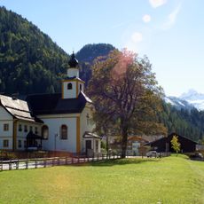
Pfarrhof
7 km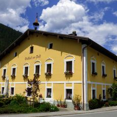
Gasthof Zur Post Untertauern
7.1 km
Mesnerhaus, Pichl-Preunegg
7.7 km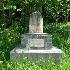
Meilenstein Untertauern 25483
7.5 km
Paßanlage, Paß Mandling
5.8 km
Forsthauskapelle, Forstau
3.4 km
Teil der Passanlage Mandling
5.7 kmVisited this place? Tap the stars to rate it and share your experience / photos with the community! Try now! You can cancel it anytime.
Discover hidden gems everywhere you go!
From secret cafés to breathtaking viewpoints, skip the crowded tourist spots and find places that match your style. Our app makes it easy with voice search, smart filtering, route optimization, and insider tips from travelers worldwide. Download now for the complete mobile experience.

A unique approach to discovering new places❞
— Le Figaro
All the places worth exploring❞
— France Info
A tailor-made excursion in just a few clicks❞
— 20 Minutes