
Amaliendorf-Aalfang
Amaliendorf-Aalfang, municipality in Gmünd District, Lower Austria, Austria
Location: Gmünd District
Elevation above the sea: 568 m
Shares border with: Heidenreichstein
Email: gemeinde@amaliendorf.at
Website: https://amaliendorf.at
GPS coordinates: 48.83333,15.08333
Latest update: March 20, 2025 19:13
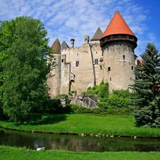
Burg Heidenreichstein
4.5 km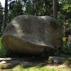
Balancing rock in the Schrems forest
633 m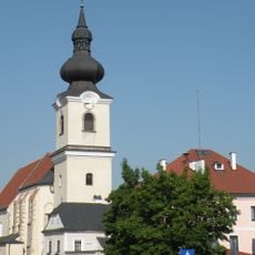
Stadtpfarrkirche Heidenreichstein
4.6 km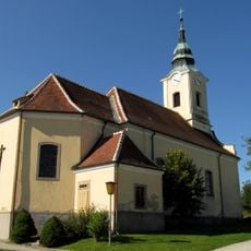
Pfarrkirche Mariä Himmelfahrt, Langegg
2.7 km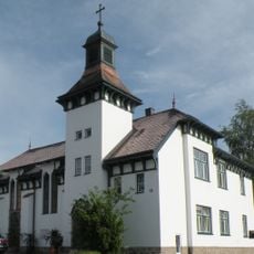
Versöhnungskirche Heidenreichstein
4.5 km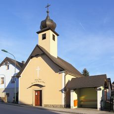
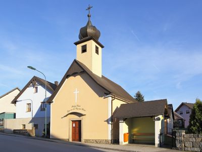
Ortskapelle Zur Himmelfahrt Unserer Lieben Frau
603 m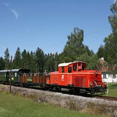
Waldviertler Schmalspurbahnverein
4.3 km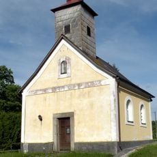
Ortskapelle Altmanns
4.5 km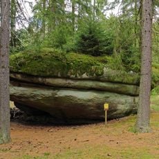
Käs im Laibstein ("Cheese inside the loaf stone")
973 m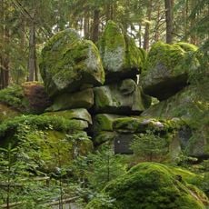
Geyersteine
4.2 km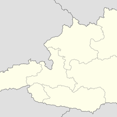
Steinbruch Hartberg
2.2 km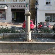
Brunnen
4.6 km
NÖ-Naturdenkmal GD-096 Granitfelsgruppe auf Waldkuppe
2.7 km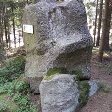
Jägersitz ("hunter's seat")
1.6 km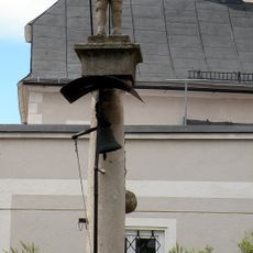
Pranger Heidenreichstein
4.6 km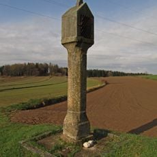
Bildstock
3.1 km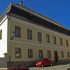
Pfarrhof
4.6 km
Öffentliche Bücherei Amaliendorf-Aalfang
556 m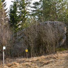
Wasserstein Rock
1.8 km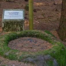
Felsgebilde Taufstein
2.8 km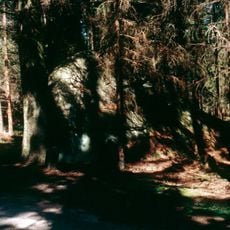
Kasiger Loa
3.2 km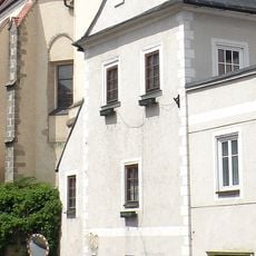
Böhmhaus Heidenreichstein
4.6 km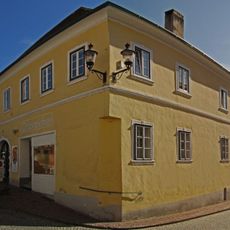
Wohnhaus, ehem. Hackerhaus
4.6 km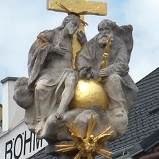
Dreifaltigkeitssäule Heidenreichstein
4.6 km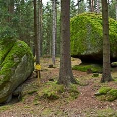
NÖ-Naturdenkmal GD-102 Felsgebilde Striezel und Scherzel
1.8 km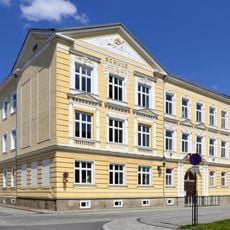
Schule
4.6 km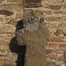
Faltersäule
3.7 km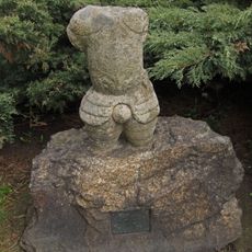
Figur Rolandstorso
4.6 kmReviews
Visited this place? Tap the stars to rate it and share your experience / photos with the community! Try now! You can cancel it anytime.
Discover hidden gems everywhere you go!
From secret cafés to breathtaking viewpoints, skip the crowded tourist spots and find places that match your style. Our app makes it easy with voice search, smart filtering, route optimization, and insider tips from travelers worldwide. Download now for the complete mobile experience.

A unique approach to discovering new places❞
— Le Figaro
All the places worth exploring❞
— France Info
A tailor-made excursion in just a few clicks❞
— 20 Minutes