
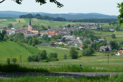
Schenkenfelden, municipality in Urfahr-Umgebung District, Upper Austria, Austria
Location: Urfahr-Umgebung District
Elevation above the sea: 734 m
Shares border with: Vyšší Brod, Reichenthal, Waldburg, Hirschbach im Mühlkreis, Ottenschlag im Mühlkreis, Reichenau im Mühlkreis, Bad Leonfelden
Email: gemeinde@schenkenfelden.ooe.gv.at
Website: http://schenkenfelden.at
GPS coordinates: 48.50028,14.36278
Latest update: March 2, 2025 21:13
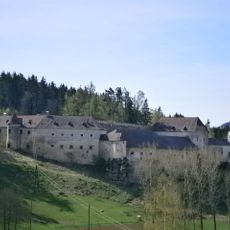
Schloss Waldenfels, Reichenthal
4.7 km
Schwedenschanze Rading
6.2 km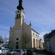
Catholic parish church St. Bartholomew in Reichenthal
5.1 km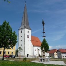
Catholic parish church St. Aegidius
254 m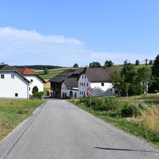
Au
4.4 km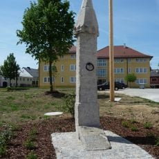
Pranger
229 m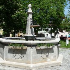
Brunnen
289 m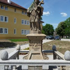
Figurenbildstock hl. Johannes Nepomuk
227 m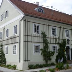
Gerstlhaus
295 m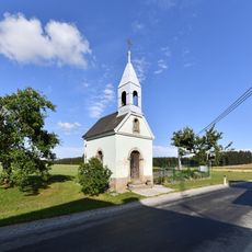
Kapelle Langbruck
3.2 km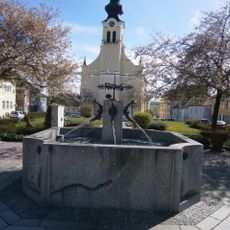
Brunnen
5.1 km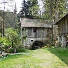
Freilichtmuseum Hayrl
4.8 km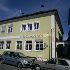
Altes Schulhaus
5.1 km
Rodlbrücke bei Au
3.3 km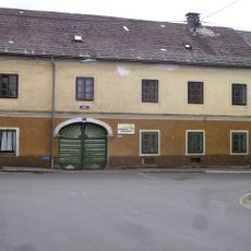
Wohnhaus, sog. Freunschlag-Haus
271 m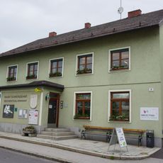
Öffentliche Bibliothek Reichenthal
5 km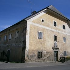
Wohnhaus, ehem. Pfarrhof
5.2 km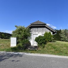
Pumpwerk Hagau
3.3 km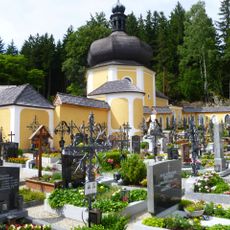
Calvary in Schenkenfelden
1.4 km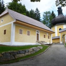
Wohnhaus, sog. Kagerer-Haus
1.4 km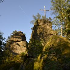
Hirtstein bei Schenkenfelden
1.9 km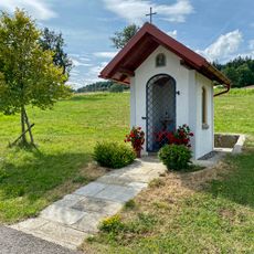
Kapelle bei Rading 8
6 km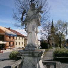
Figurenbildstock Hl. Johannes Nepomuk
5 km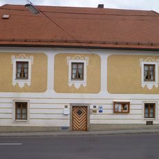
Pfarrhof
257 m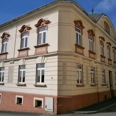
Pfarrhof
5.1 km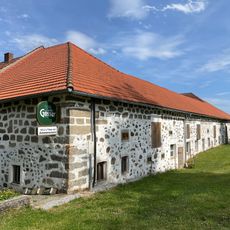
Hof Rading 8
6 km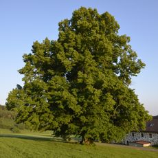
Munterlinde
2 km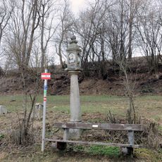
Bildstock bei Hagauer Straße 29
4.2 kmVisited this place? Tap the stars to rate it and share your experience / photos with the community! Try now! You can cancel it anytime.
Discover hidden gems everywhere you go!
From secret cafés to breathtaking viewpoints, skip the crowded tourist spots and find places that match your style. Our app makes it easy with voice search, smart filtering, route optimization, and insider tips from travelers worldwide. Download now for the complete mobile experience.

A unique approach to discovering new places❞
— Le Figaro
All the places worth exploring❞
— France Info
A tailor-made excursion in just a few clicks❞
— 20 Minutes