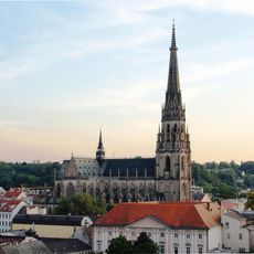
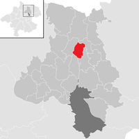
Urfahr-Umgebung District, Administrative district in Upper Austria, Austria
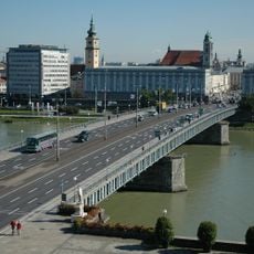
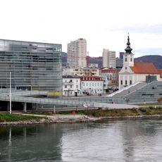
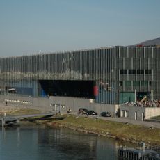
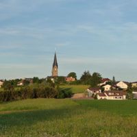
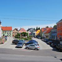
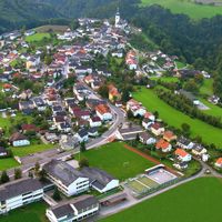
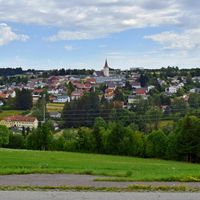
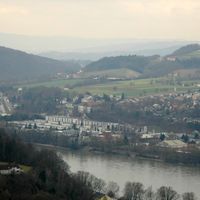
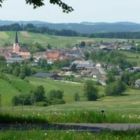
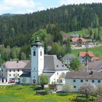
Urfahr-Umgebung District is an administrative region in Upper Austria comprising several municipalities arranged around Linz. The area blends rural villages with urban connections, serving as a transition zone between the state capital and the surrounding countryside.
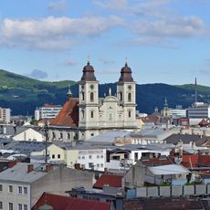
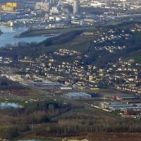
The district emerged from the historical separation of Urfahr, which transformed from an independent city into a district of Linz over time. This administrative boundary continues to shape the relationship between the city and its immediate surroundings today.
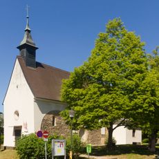
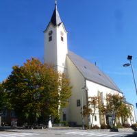
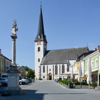
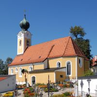
Each municipality within Urfahr-Umgebung maintains its own traditions while sharing agricultural practices and regional festivities throughout the seasons.
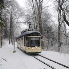
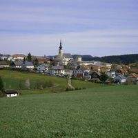
The region is well connected by public transportation with multiple train and bus services linking the various communities. Those wishing to explore on foot will find many paths through the gently rolling terrain.
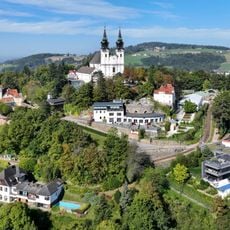
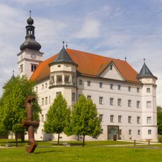
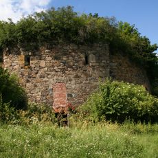
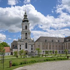
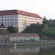
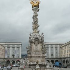
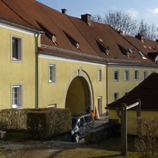
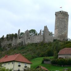
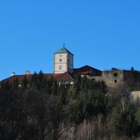
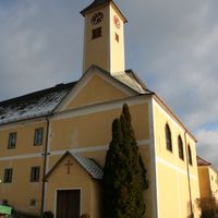
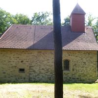
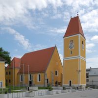
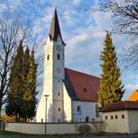
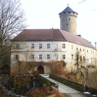
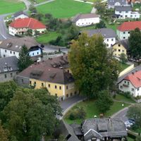
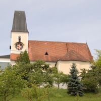
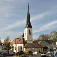
Castles and ruins scattered throughout the region reveal architectural layers from different periods that visitors discover while traveling through the landscape. These structures shape the countryside and speak to the area's prosperous past.
Location: Upper Austria
Capital city: Linz
Shares border with: Freistadt District, Perg District, Linz, Linz-Land District, Eferding District, Rohrbach District
Website: https://land-oberoesterreich.gv.at/bh_urfahr_umgebung.htm
GPS coordinates: 48.40694,14.27806
Latest update: December 7, 2025 10:07
New Cathedral, Linz
11.9 km
Hofmann Personal Stadion
10.2 km
Pöstlingbergbahn
9.3 km
Pöstlingberg
9.3 km
Schloss Hartheim
18.5 km
Musiktheater Linz
12.5 km
Waldegg
13.9 km
Urfahr
10 km
Turmbefestigung Linz
9.5 km
Nibelungen Bridge
11.1 km
Ars Electronica Center
10.9 km
Wilhering Abbey
11.3 km
Linz Castle
11.3 km
Dreifaltigkeitssäule
11.3 km
Tabakfabrik
10.7 km
Old Cathedral, Linz
11.4 km
Linz State Theatre
11.5 km
Lentos Museum of Modern Art
11 km
Hitlerbauten
10.3 km
Bundesrealgymnasium Linz Fadingerstraße
11.4 km
Grottenbahn am Pöstlingberg
9.4 km
Waxenberg Castle
10.1 km
Neue Eisenbahnbrücke, Linz
10.1 km
Brucknerhaus
10.8 km
Schloss Starhemberg
21.6 km
Wallfahrtskirche zu den Sieben Schmerzen Mariä
9.3 km
St. Martin’s Church
11.4 km
Linzer Landhaus
11.5 kmVisited this place? Tap the stars to rate it and share your experience / photos with the community! Try now! You can cancel it anytime.
Alberndorf in der Riedmark
Altenberg bei Linz
Bad Leonfelden
Eidenberg
Engerwitzdorf
Feldkirchen an der Donau
Gallneukirchen
Goldwörth
Gramastetten
Haibach im Mühlkreis
Hellmonsödt
Herzogsdorf
Kirchschlag bei Linz
Lichtenberg
Oberneukirchen
Ottenschlag im Mühlkreis
Ottensheim
Puchenau
Reichenau im Mühlkreis
Reichenthal
Sankt Gotthard im Mühlkreis
Schenkenfelden
Sonnberg im Mühlkreis
Steyregg
Vorderweißenbach
Walding
Zwettl an der Rodl
Discover hidden gems everywhere you go!
From secret cafés to breathtaking viewpoints, skip the crowded tourist spots and find places that match your style. Our app makes it easy with voice search, smart filtering, route optimization, and insider tips from travelers worldwide. Download now for the complete mobile experience.
A unique approach to discovering new places❞
— Le Figaro
All the places worth exploring❞
— France Info
A tailor-made excursion in just a few clicks❞
— 20 Minutes