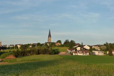
Bad Leonfelden, municipality in Urfahr-Umgebung District, Upper Austria, Austria
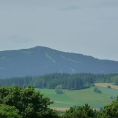
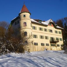
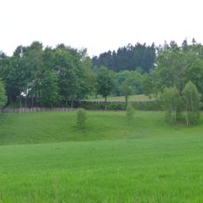
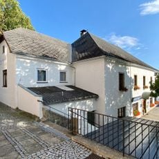
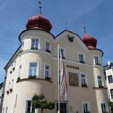
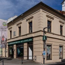
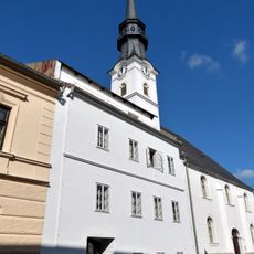
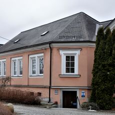
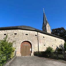
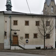
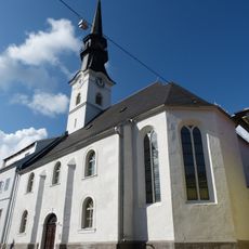
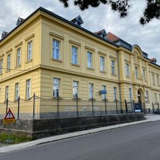
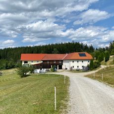
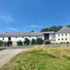
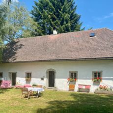
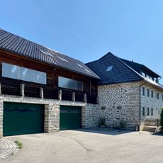
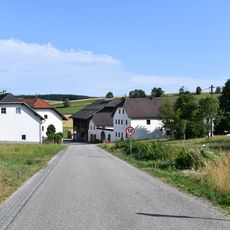
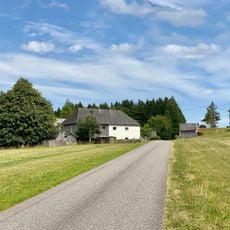
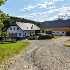
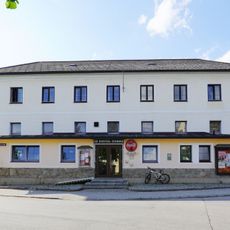
Bad Leonfelden is a small town in Austria known as a health resort located in the Urfahr-Umgebung District. It features traditional Austrian architecture with narrow streets, a central square, and sits in a hilly forested landscape.
The town received its town rights in 1292, establishing its long history as a settled place. Over centuries, it transformed into a health resort as its mineral springs were discovered and developed for healing purposes.
The name "Bad" refers to the mineral springs that have been used for healing for centuries and define the town's identity. Visitors can observe how this water and wellness tradition shape daily life and the local services available today.
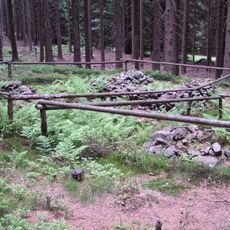
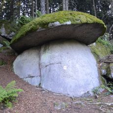
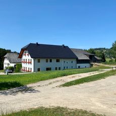
Visitors should bring sturdy footwear for hikes in the hilly surroundings, as many trails go through forests and across elevated terrain. The town is easily accessible by public transport and offers various accommodations with wellness programs for extended stays.
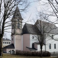
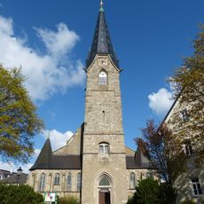
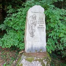
Artist Leopold Forstner was born here and created Art Nouveau mosaics that remain visible in public spaces around the town today. His works reveal the artistic importance this small place held in Austria's early modern period.
The community of curious travelers
AroundUs brings together thousands of curated places, local tips, and hidden gems, enriched daily by 60,000 contributors worldwide.