
Kreuttal, municipality in Mistelbach District, Lower Austria, Austria
Location: Mistelbach District
Elevation above the sea: 207 m
Shares border with: Kreuzstetten, Hochleithen, Ulrichskirchen-Schleinbach, Harmannsdorf, Großrußbach
Email: gemeinde@kreuttal.gv.at
Website: http://kreuttal.at
GPS coordinates: 48.43333,16.48333
Latest update: March 19, 2025 01:26

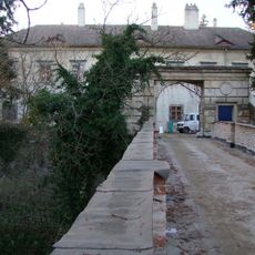
Schloss Niederkreuzstetten
5.3 km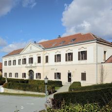
Schloss Großrußbach
6.5 km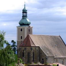
Pfarrkirche (Großrußbach)
6.5 km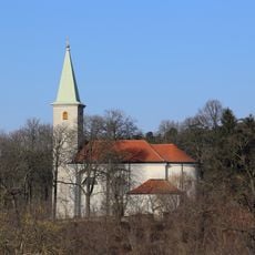
Heiligenberg-Kirche
3.5 km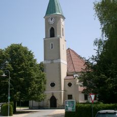
Pfarrkirche Niederkreuzstetten
5.2 km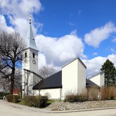
Pfarrkirche Würnitz
4.3 km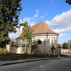
Pfarrkirche hl. Peter, Schleinbach
2 km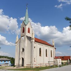
Saint Leonard Church
665 m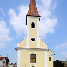
Saint Lambertus Church
2 km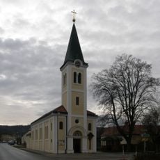
Church of the Visitation
5.9 km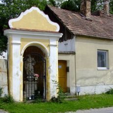
Wegkapelle
6.5 km
Kulturhaus, ehem. Kapelle hl. Leonhard
573 m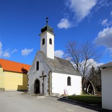
Ortskapelle
4.4 km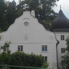
Luisenmühle
2 km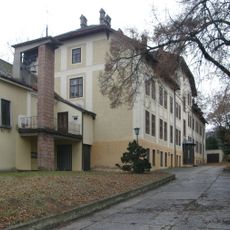
Kloster der hl. Hedwig
1.2 km
Gösslmühle
1.5 km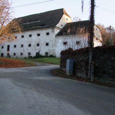
Schüttkasten (Niederkreuzstetten)
5.3 km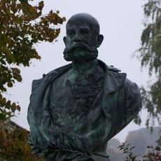
Kaiser-Franz-Joseph-Denkmal
1.5 km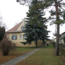
Pfarrhof Oberkreuzstetten
6 km
Befestigte Siedlung des Neolithikums
6.4 km
Befestigte Siedlung des Neolithikums
6.2 km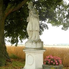
Figur hl. Johannes Nepomuk
4.7 km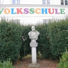
Persönlichkeitsdenkmal, Büste Franz Josef I.
679 m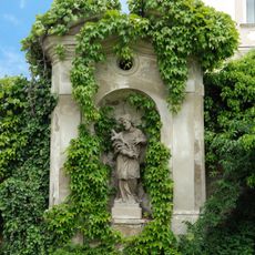
Bildstock hl. Johannes Nepomuk
6.5 km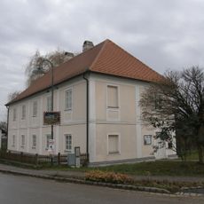
Pfarrhof
492 m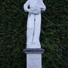
Hl.Felix
5.1 km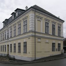
Schule
1.9 km
Befestigte Höhensiedlung Ochsenberg
5.9 kmReviews
Visited this place? Tap the stars to rate it and share your experience / photos with the community! Try now! You can cancel it anytime.
Discover hidden gems everywhere you go!
From secret cafés to breathtaking viewpoints, skip the crowded tourist spots and find places that match your style. Our app makes it easy with voice search, smart filtering, route optimization, and insider tips from travelers worldwide. Download now for the complete mobile experience.

A unique approach to discovering new places❞
— Le Figaro
All the places worth exploring❞
— France Info
A tailor-made excursion in just a few clicks❞
— 20 Minutes