
Sankt Anton im Montafon
Sankt Anton im Montafon, municipality in Bludenz District, Vorarlberg, Austria
Location: Bludenz District
Elevation above the sea: 651 m
Email: gemeinde@st.anton.i.m.cnv.at
Website: http://sankt-anton-im-montafon.at
GPS coordinates: 47.11667,9.86667
Latest update: March 22, 2025 01:05

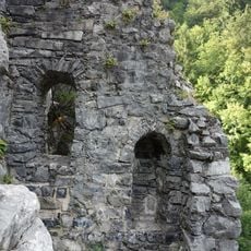
Valcastiel Castle Ruin
2.8 km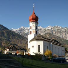
Alte Pfarrkirche Johannes der Täufer
2.4 km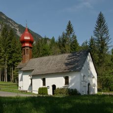
Venser chapel
688 m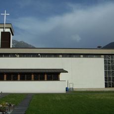
Josefskirche
3.4 km
Neue Pfarrkirche Johannes der Täufer
2.4 km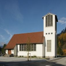
Johannes-Nepomuk-Kirche (Lorüns)
2.1 km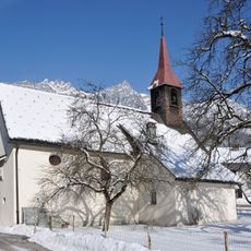
Wallfahrtskirche Mariä Geburt
2.7 km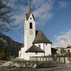
Pfarrkirche Sankt Anton im Montafon
310 m
Alte Krone Vandans
2.6 km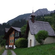
Marentes Marienkapelle
1.2 km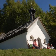
Kapelle Valleu
1.2 km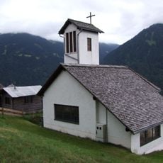
Jetzmunt Marienkapelle
1.6 km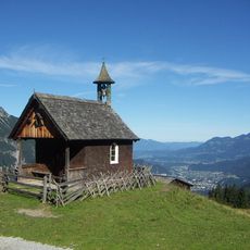
Kapelle Rellseck
2 km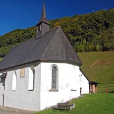
Kapelle Sankt Leonhard, Bings
3.2 km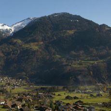
Monteneu
3.6 km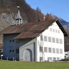
Volksschule Bings
3.1 km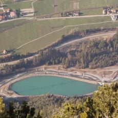
Reservoir Radin
3.2 km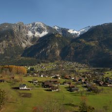
Davenna
2.2 km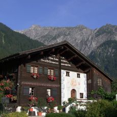
Vandans D's Manga Hüsli
2.6 km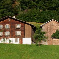
Vandans Gehöft Bühelweg 12
2.7 km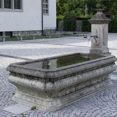
Lorüns Brunnen
2.1 km
Schulhaus Lorüns
2.1 km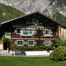
Wohnhaus
1.2 km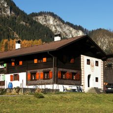
Wohnhaus
1.1 km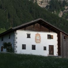
Vandans Wohnhaus Untere Venserstraße 63
1.2 km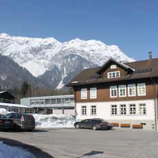
Volksschule Vandans
2.4 km
Vandans Bauernhof Valkastielstraße 15-17
2 km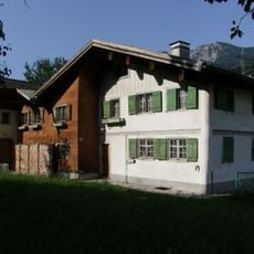
Vandans Doppelwohnhaus Bahnhofstr 8
2.2 kmVisited this place? Tap the stars to rate it and share your experience / photos with the community! Try now! You can cancel it anytime.
Discover hidden gems everywhere you go!
From secret cafés to breathtaking viewpoints, skip the crowded tourist spots and find places that match your style. Our app makes it easy with voice search, smart filtering, route optimization, and insider tips from travelers worldwide. Download now for the complete mobile experience.

A unique approach to discovering new places❞
— Le Figaro
All the places worth exploring❞
— France Info
A tailor-made excursion in just a few clicks❞
— 20 Minutes