
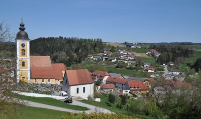
Niederwaldkirchen, municipality in Rohrbach District, Upper Austria, Austria
Location: Rohrbach District
Elevation above the sea: 525 m
Shares border with: Sankt Martin im Mühlkreis, Kleinzell im Mühlkreis, Sankt Ulrich im Mühlkreis, Sankt Johann am Wimberg, Sankt Veit im Mühlkreis, Herzogsdorf
Email: gemeinde@niederwaldkirchen.at
Website: https://niederwaldkirchen.at
GPS coordinates: 48.45139,14.08556
Latest update: April 12, 2025 13:23
St.Johann am Wimberg - Pfarrkirche
5.2 km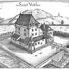
Schloss St. Veit
5.9 km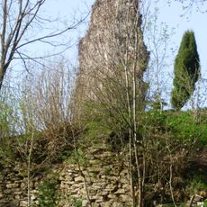
Burgruine Steinbach
2.4 km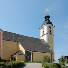
Sankt Martin im Mühlkreis parish church
5.2 km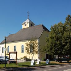
Filialkirche Neußerling
6.2 km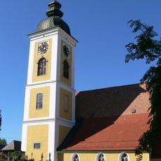
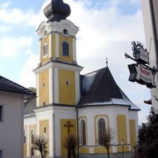
Pfarrkirche Mariae Himmelfahrt (Niederwaldkirchen)
128 m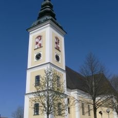
Saint Peter parish church
5.7 km
Burgstall Aigelsberg
2.8 km
Burg Kühschlag
3.8 km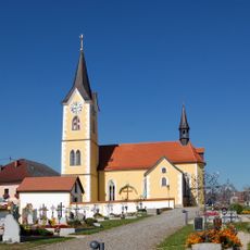
Catholic parish church in Herzogsdorf
3.1 km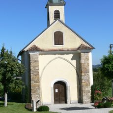
Sankt Ulrich im Mühlkreis - Chapel
3.8 km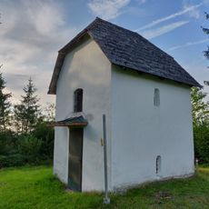
Calvary chapel
5.7 km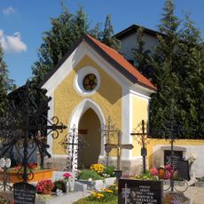
Friedhofskapelle Herzogsdorf
3.1 km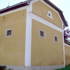
Ehem. Kaplanstöckl, Josef Eidenberger-Museum
82 m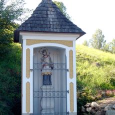
Johanneskapelle
159 m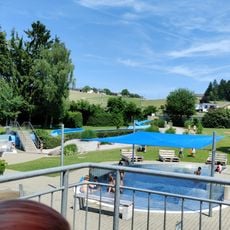
Freibad St.Martin
4.6 km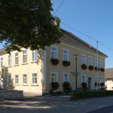
Volksschule Neußerling
6.2 km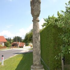
Bildstock Dunzendorf 7
4.5 km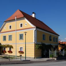
Pfarrhof Herzogsdorf
3.1 km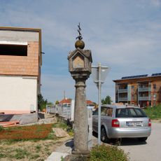
Bildstock Kreuzfeldstraße 1
5.4 km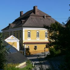
Pfarrhof
99 m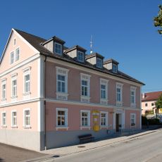
Gemeindeamt Herzogsdorf
3.1 km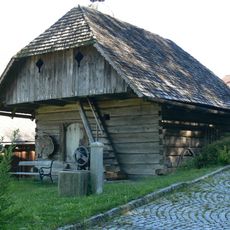
Speicher
145 m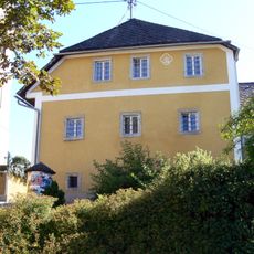
Ehem. Mesnerhaus
133 m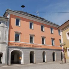
Marktgemeindeamt Sankt Martin im Mühlkreis
5.2 km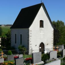
Aufbahrungshalle
180 m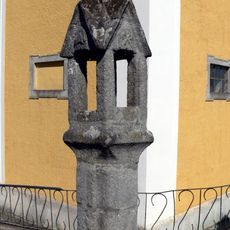
Lichtsäule, Totenleuchte
138 m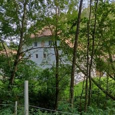
Sagmühle
3.6 kmReviews
Visited this place? Tap the stars to rate it and share your experience / photos with the community! Try now! You can cancel it anytime.
Discover hidden gems everywhere you go!
From secret cafés to breathtaking viewpoints, skip the crowded tourist spots and find places that match your style. Our app makes it easy with voice search, smart filtering, route optimization, and insider tips from travelers worldwide. Download now for the complete mobile experience.

A unique approach to discovering new places❞
— Le Figaro
All the places worth exploring❞
— France Info
A tailor-made excursion in just a few clicks❞
— 20 Minutes