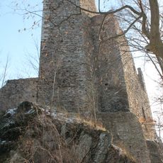
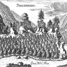
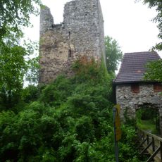
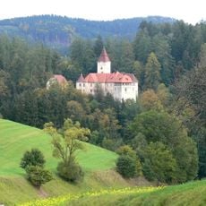
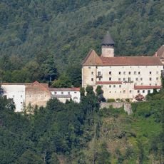
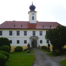
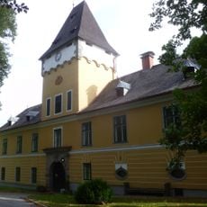
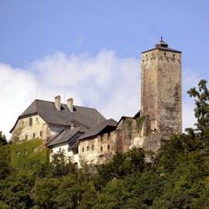
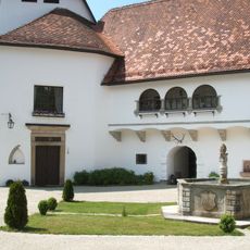
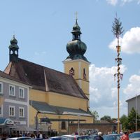
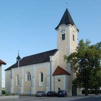
Rohrbach District, Administrative district in Upper Austria, Austria
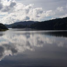
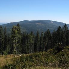
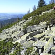
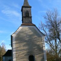
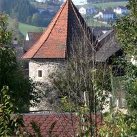
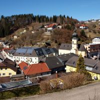
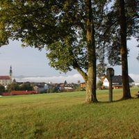
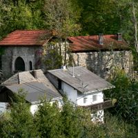
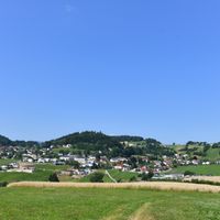
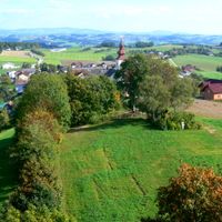
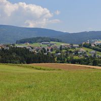
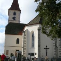
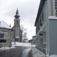
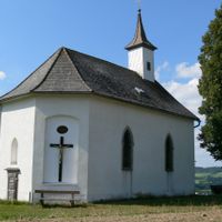
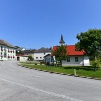
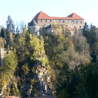
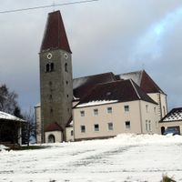
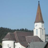
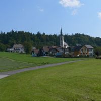
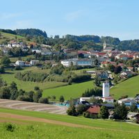
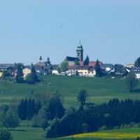
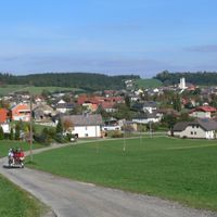
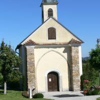
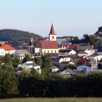
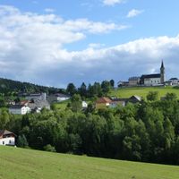
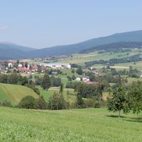
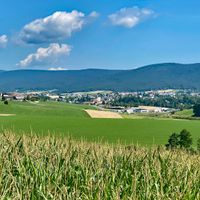
Rohrbach District lies in northern Upper Austria and encompasses 40 municipalities along with numerous smaller settlements across a large area. The region extends through various elevations, from river valleys to mountain areas, creating different landscapes throughout.
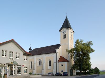
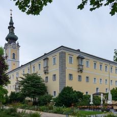
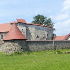
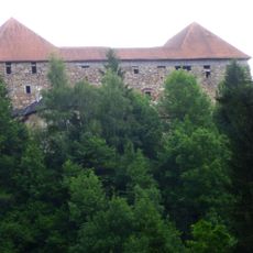
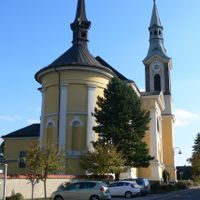
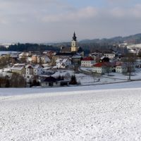
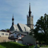
The district is an established administrative unit with long roots in its region. In 2015, the town of Rohrbach merged with Berg bei Rohrbach, marking a significant administrative change for the area.
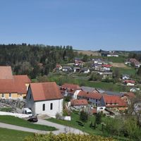
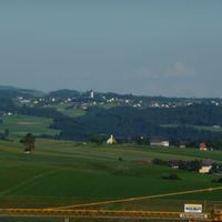
The communities here maintain strong agricultural traditions that shape everyday life. Local markets and festivals regularly celebrate regional farming products and show how farming remains central to the area.
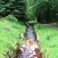
The area borders the Czech Republic and offers multiple border crossings for travelers and transit. Visitors should be aware that the varying elevations can affect travel conditions and weather.
The varying elevations create different microclimates that support varied farming throughout the year. These natural landscape differences create local distinctiveness that becomes obvious when traveling through the area.
Location: Upper Austria
Capital city: Rohrbach-Berg
Shares border with: Freyung-Grafenau, Passau, Urfahr-Umgebung District, Eferding District, Schärding District, Grieskirchen District
Website: http://bh-rohrbach.gv.at
GPS coordinates: 48.54400,13.97300
Latest update: December 7, 2025 19:25
Lipno Reservoir
18.7 km
Schlögener Schlinge
14.6 km
Schwarzenbergischer Schwemmkanal
23.7 km
Plechý / Plöckenstein
26.7 km
Engelszell Abbey
18.3 km
Stift Schlägl
10.3 km
Vítkův kámen
14.8 km
Waxenberg Castle
17.6 km
Hochficht
21.8 km
Burg Neuhaus
13.6 km
Burgruine Stauf
18.3 km
Burg Falkenstein an der Ranna
15.1 km
Schallenberg Castle
8.1 km
Burgruine Haichenbach
15 km
Sprinzenstein Castle
2.2 km
Schloss Rannariedl
16.4 km
Schloss Altenhof
15 km
Helfenberg Castle
12.1 km
Pumped Storage Station Partenstein
12.3 km
Burg Marsbach
14.5 km
Burg Piberstein
13.6 km
Bayerischer Plöckenstein
27.6 km
Austria–Czech Republic–Germany tripoint
27.2 km
Kleinkastell Oberranna
16.8 km
Bärenstein
15.5 km
Burg Pürnstein
5.5 km
Schloss Lichtenau
6.9 km
Pranýř
19.3 kmVisited this place? Tap the stars to rate it and share your experience / photos with the community! Try now! You can cancel it anytime.
Altenfelden
Arnreit
Atzesberg
Auberg
Haslach an der Mühl
Helfenberg
Hofkirchen im Mühlkreis
Hörbich
Julbach
Kirchberg ob der Donau
Klaffer am Hochficht
Kleinzell im Mühlkreis
Kollerschlag
Lembach im Mühlkreis
Lichtenau im Mühlkreis
Nebelberg
Neufelden
Neustift im Mühlkreis
Niederkappel
Niederwaldkirchen
Oberkappel
Oepping
Peilstein im Mühlviertel
Pfarrkirchen im Mühlkreis
Putzleinsdorf
Sankt Johann am Wimberg
Sankt Martin im Mühlkreis
Sankt Oswald bei Haslach
Sankt Peter am Wimberg
Sankt Ulrich im Mühlkreis
Sankt Veit im Mühlkreis
Sarleinsbach
Schwarzenberg am Böhmerwald
Ulrichsberg
Aigen-Schlägl
Rohrbach-Berg
St. Stefan-Afiesl
Discover hidden gems everywhere you go!
From secret cafés to breathtaking viewpoints, skip the crowded tourist spots and find places that match your style. Our app makes it easy with voice search, smart filtering, route optimization, and insider tips from travelers worldwide. Download now for the complete mobile experience.
A unique approach to discovering new places❞
— Le Figaro
All the places worth exploring❞
— France Info
A tailor-made excursion in just a few clicks❞
— 20 Minutes