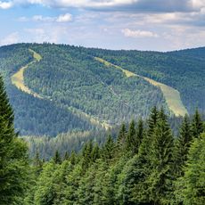
Bayerischer Plöckenstein, Mountain summit at Czech-German-Austrian border intersection.
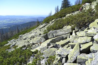
Bayerischer Plöckenstein is a mountain summit located where three countries meet, featuring two distinct peaks in this border region. The Czech peak of Trojmezná stands at 1361 meters, while the German peak reaches 1358 meters, with both peaks forming part of the Šumava range.
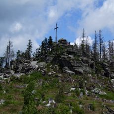
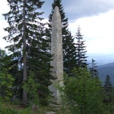
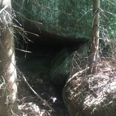
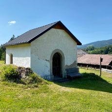
The peak has served for centuries as a natural border marker between the three neighboring lands and later received a stone monument displaying national emblems. This strategic location made it an important reference point in a historically contested border region.
The name Trojmezna means 'three borders', reflecting how this place has served as a symbolic meeting point of three nations for centuries. Walking here today, you can still feel this border character in the landscape and the markers that define each nation's territory.
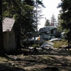
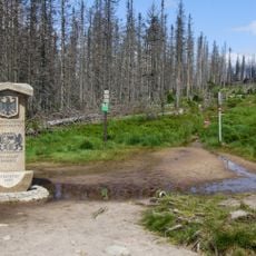
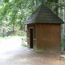
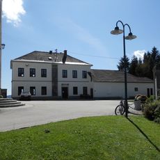
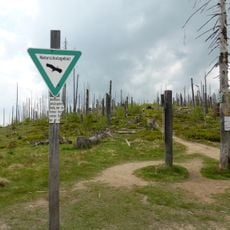
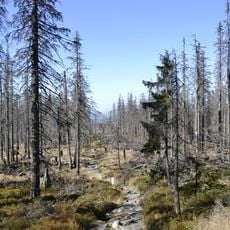
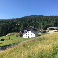
You can reach the summit via marked hiking trails that begin from Nové Údolí village and pass through wooded areas before ascending to the peak. The hike crosses through Šumava National Park and requires sturdy footwear and clothing suited to changeable mountain weather.
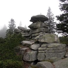
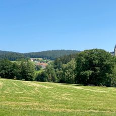
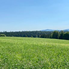
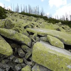
The mountain hosts rare mountain meadows and moorland habitats occupied by specially adapted plant species and uncommon birds like the three-toed woodpecker. These alpine environments developed through centuries of human land use and remain vital today for protecting vulnerable species across Europe.
The community of curious travelers
AroundUs brings together thousands of curated places, local tips, and hidden gems, enriched daily by 60,000 contributors worldwide.