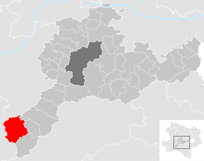
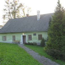
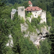
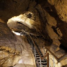
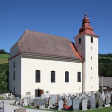
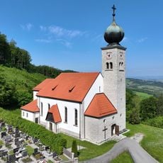
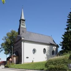
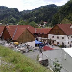
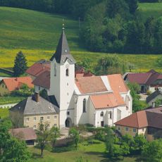
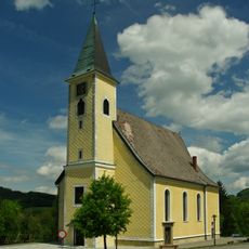
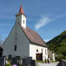
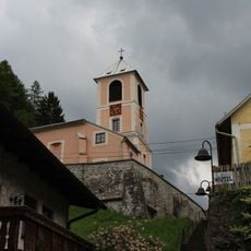
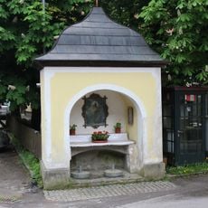
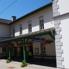
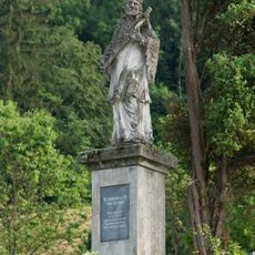
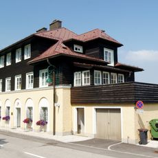
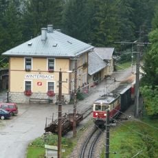
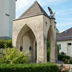
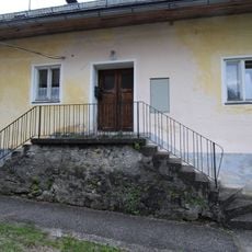
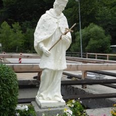
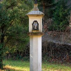
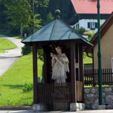
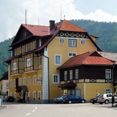
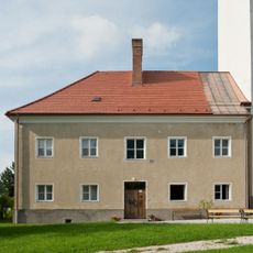
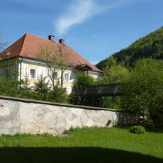
Frankenfels, municipality in Sankt Pölten District, Lower Austria, Austria
Location: Sankt Pölten(Land) District
Elevation above the sea: 464 m
Shares border with: Sankt Georgen an der Leys, Texingtal, Puchenstuben, Sankt Anton an der Jeßnitz, Kirchberg an der Pielach, Loich, Schwarzenbach an der Pielach
Email: marktgemeinde@frankenfels.at
Website: http://frankenfels.at
GPS coordinates: 47.96667,15.31667
Latest update: March 5, 2025 09:27
Plankenstein Castle
7.1 km
Dollfuß-Museum
8.8 km
Weißenburg, Frankenfels
4.6 km
Nixhöhle
1.1 km
Pfarrkirche Frankenfels
1.8 km
Parish church of Plankenstein
6.9 km
Freinberghöhle
8.6 km
Pfarrkirche Puchenstuben
4.8 km
Grassermühle
1.3 km
Pfarrkirche hl. Gotthard, St. Gotthard
7.7 km
Kath. Pfarrkirche hl. Bartholomäus
8.7 km
Pfarrkirche Loich
7 km
Pfarrkirche hl. Katharina, Schwarzenbach an der Pielach
5.3 km
Ölbergkapelle Schwarzenbach an der Pielach
5.4 km
Bahnhof Laubenbachmühle
2.7 km
Figurenbildstock hl. Johannes Nepomuk
6.9 km
Rathaus
4.7 km
Winterbach railway station
3.6 km
Bildstock Nepomuk Frankenfels
1.8 km
Leopoldwarte
8.6 km
Kriegerdenkmal
7.7 km
Pfarrhof Schwarzenbach an der Pielach
5.3 km
Figurenbildstock hl. Nepomuk Schwarzenbach a. d. Pielach
5.4 km
Übelbachgrabenkreuz
7.1 km
Figurenbildstock hl. Johannes Nepomuk
5.1 km
Pflegezentrum Hallerhof
4.8 km
Pfarrhof
7.7 km
Pfarrhof
7 kmReviews
Visited this place? Tap the stars to rate it and share your experience / photos with the community! Try now! You can cancel it anytime.
Discover hidden gems everywhere you go!
From secret cafés to breathtaking viewpoints, skip the crowded tourist spots and find places that match your style. Our app makes it easy with voice search, smart filtering, route optimization, and insider tips from travelers worldwide. Download now for the complete mobile experience.
A unique approach to discovering new places❞
— Le Figaro
All the places worth exploring❞
— France Info
A tailor-made excursion in just a few clicks❞
— 20 Minutes