Enable Location

We need your location to show you interesting places around you

Discover nearby places

Find interesting locations and hidden gems around you

Precise directions

Get accurate directions and distances to places

Your location is never shared with other users. It's only used when you tap the location button.

Ried im Innkreis

Log in to your account

Start exploring — it's free

Trusted by 62,839 travelers worldwide

Continue with Google
Continue with Apple
or

We will send you a code to connect

By continuing, you accept our Terms and Conditions and our Privacy Policy

Check your inbox

We've sent a pincode in your inbox. Please enter the code below.

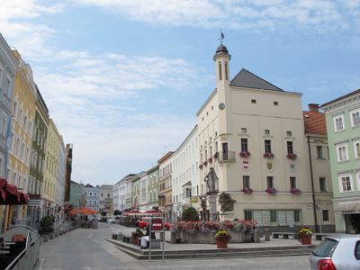
Ried im Innkreis, Administrative center in Upper Austria, Austria

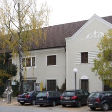
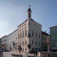
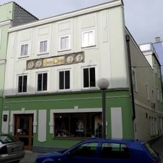
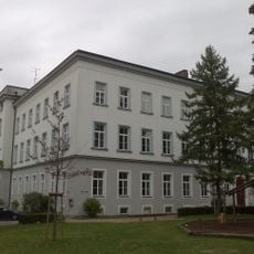
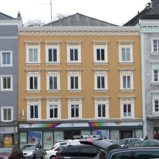
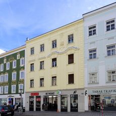
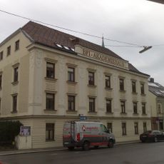
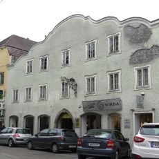
Ried im Innkreis is a town in Upper Austria located between Linz and Salzburg at an elevation of around 433 meters (1,420 feet). The settlement contains schools, hospitals, shops, and serves as a local center for the surrounding communities.

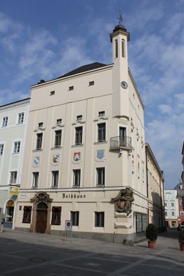
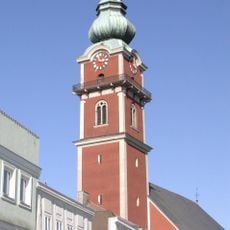
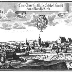
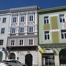
Ried was first documented in 1136, and the settlement received official town privileges from Emperor Franz Joseph I in 1857. This charter marked a turning point in its growth as an administrative center for the region.

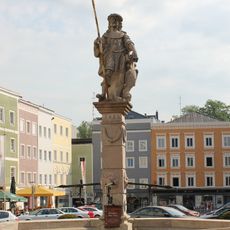
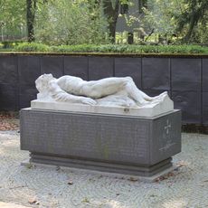
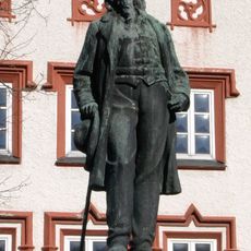
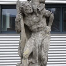
The Schwanthaler family of sculptors left behind numerous artworks throughout the region that visitors can still see today. These pieces remain an important part of the local artistic identity and heritage.

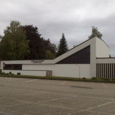
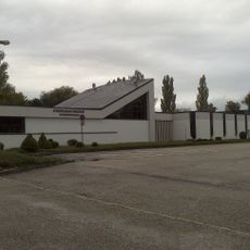
The town has good rail connections and serves as an important transportation hub in the region. Visitors find basic facilities here including shops, restaurants, and public services needed for a comfortable stay.

Oil wells have been operating in the area since 1959, providing energy and economic resources to this day. This industrial activity developed alongside traditional crafts such as furniture and shoe manufacturing.

The community of curious travelers

AroundUs brings together thousands of curated places, local tips, and hidden gems, enriched daily by 60,000 contributors worldwide.

Start exploring
Location
Elevation above the sea
433 m
Shares border with
Aurolzmünster, Tumeltsham, Hohenzell, Neuhofen im Innkreis, Mehrnbach
Website
GPS coordinates
48.21000,13.48944
Latest update
December 17, 2025 08:17
« Ried im Innkreis - Administrative center in Upper Austria, Austria » is provided by Around Us (aroundus.com). Images and texts are derived from Wikimedia project under a Creative Commons license. You are allowed to copy, distribute, and modify copies of this page, under the conditions set by the license, as long as this note is clearly visible.

Discover hidden gems everywhere you go!

From secret cafés to breathtaking viewpoints, skip the crowded tourist spots and find places that match your style. Our app makes it easy with voice search, smart filtering, route optimization, and insider tips from travelers worldwide. Download now for the complete mobile experience.

Around Us App Screenshot

A unique approach to discovering new places

Le Figaro

All the places worth exploring

France Info

A tailor-made excursion in just a few clicks

20 Minutes

Around Us
Travel Guide & Maps
Download

Send to your phone

QR Code
1

Open the camera app on your mobile.

2

Point at the QR code with your camera. A notification will appear.

3

Tap the notification to open the link.