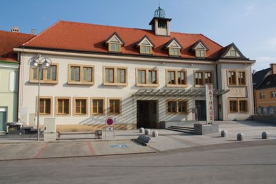
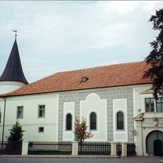
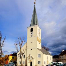
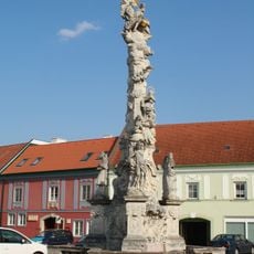
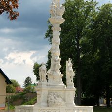
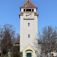
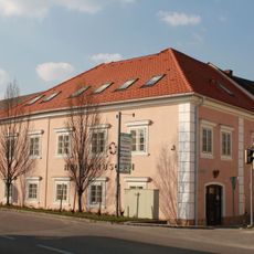
Traiskirchen, municipality in Baden District, Lower Austria, Austria
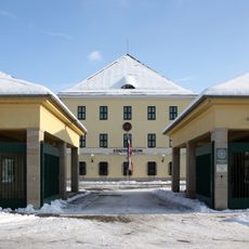
Traiskirchen is a town with city rights located in Lower Austria in the Baden District. It functions as an independent municipality with its own local government and administrative framework.
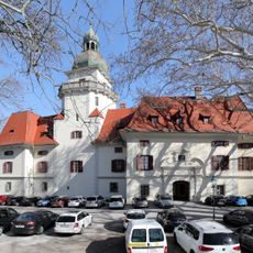
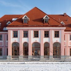
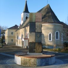
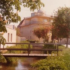
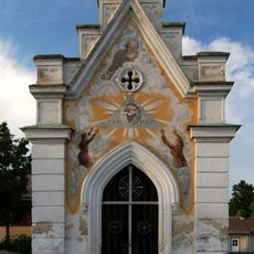
The town developed from an early settlement that evolved over centuries and eventually received its own city rights. This growth reflects the broader expansion of municipalities in the Austrian region.
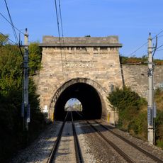
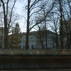
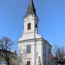
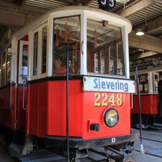
The town is easily accessible by public transport and offers standard amenities for visitors. It is helpful to check beforehand what facilities and attractions are open during your planned visit.
The community of curious travelers
AroundUs brings together thousands of curated places, local tips, and hidden gems, enriched daily by 60,000 contributors worldwide.