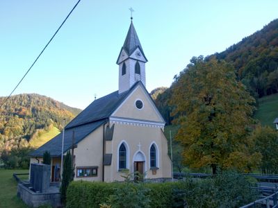
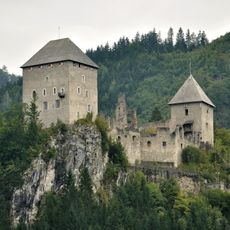
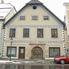
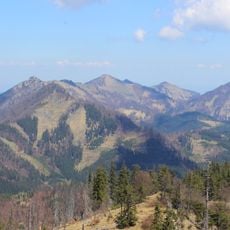
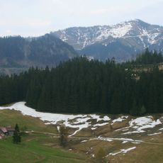
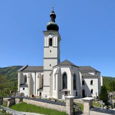
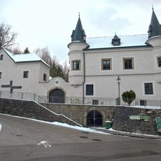
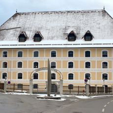
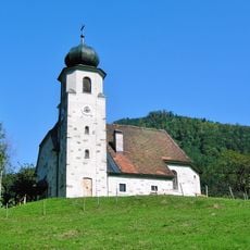
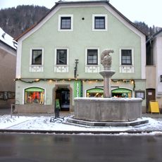
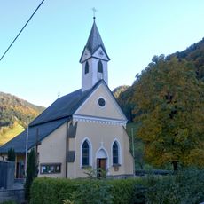
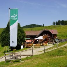
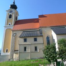
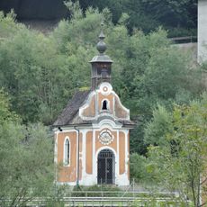
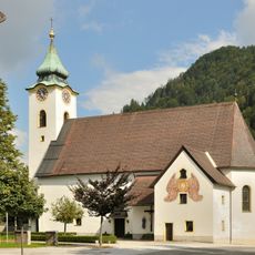
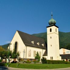
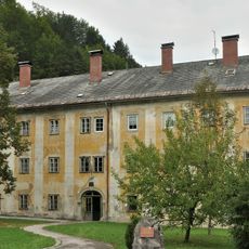
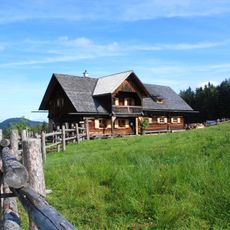
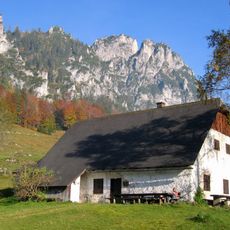
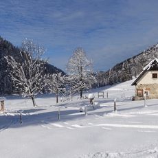
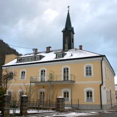
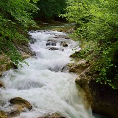
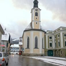
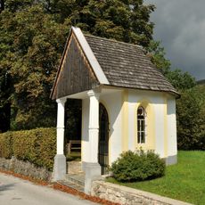
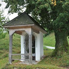
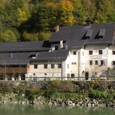
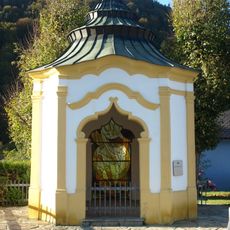
Weyer, municipality in Steyr-Land District, Upper Austria, Austria
Location: Steyr-Land District
Elevation above the sea: 399 m
Shares border with: Gaflenz, Hollenstein an der Ybbs, Altenmarkt bei Sankt Gallen, Sankt Gallen, Rosenau am Hengstpaß, Reichraming, Großraming
Email: gemeinde@weyer.ooe.gv.at
Website: https://weyer.eu
GPS coordinates: 47.85028,14.65861
Latest update: March 11, 2025 18:08
Burgruine Gallenstein
18.9 km
Preuenhueberhaus Weyer
899 m
Almkogel
7.5 km
Wasserklotz
19.6 km
Bodenwies
13 km
Pfarrkirche
443 m
Schloss Weyer (Oberösterreich)
1.1 km
Innerberger Stadel in Weyer
570 m
Branch church in Brunnbach near Großraming
11.3 km
Händlhaus mit Gartenpavillon
1 km
Teufelskirche von St. Gallen
19.5 km
Kirche Unterlaussa
16.3 km
Anlaufalm
13.7 km
Pfarrkirche Sankt Gallen
17.9 km
Flößerkapelle, Altenmarkt
15.3 km
Pfarrkirche hl. Nikolaus, Altenmarkt bei Sankt Gallen
14 km
Pfarrkirche Kleinreifling
3.6 km
Schüttkasten Weißenbach an der Enns
16.3 km
Blahbergalm
16.7 km
Puglalm
22.7 km
Spitzenbergalm
22 km
Bürgerspital Weyer
620 m
Cataracts of Laussabach
13.8 km
Sebastianskapelle Weyer
860 m
Lourdeskapelle Altenmarkt bei Sankt Gallen
14 km
Wies-Kapelle
17.9 km
Taverne am Kasten, Ennsmuseum Kastenreith
1.4 km
Gartenpavillon Weyer
730 mReviews
Visited this place? Tap the stars to rate it and share your experience / photos with the community! Try now! You can cancel it anytime.
Discover hidden gems everywhere you go!
From secret cafés to breathtaking viewpoints, skip the crowded tourist spots and find places that match your style. Our app makes it easy with voice search, smart filtering, route optimization, and insider tips from travelers worldwide. Download now for the complete mobile experience.
A unique approach to discovering new places❞
— Le Figaro
All the places worth exploring❞
— France Info
A tailor-made excursion in just a few clicks❞
— 20 Minutes