Bodenwies, Mountain summit in Weyer, Austria
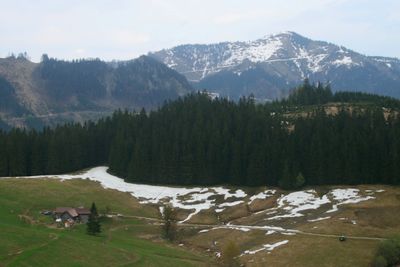
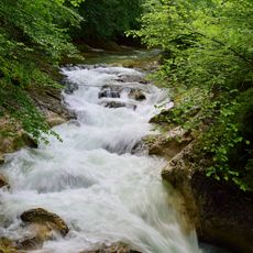
Bodenwies is a mountain peak rising to 1540 meters in the Upper Austrian Prealps and forms the highest point of the Dürrensteigkamm ridge. The slopes descend through forest and pasture land toward several alpine huts and meadows that characterize the surrounding terrain.
The mountain formed during the Alpine orogeny millions of years ago, creating its distinctive dolomite composition characteristic of the Northern Limestone Alps. This ancient geological process shaped the landscape visible today and continues to influence how the region develops.
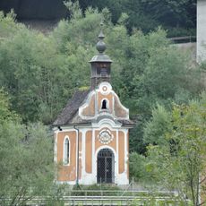
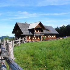
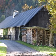
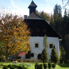
Alpine pastures in the area reflect the work of herders who shaped the landscape through seasonal grazing over many centuries. The open meadows and simple mountain huts offer glimpses into how mountain communities adapted to life at high elevation.
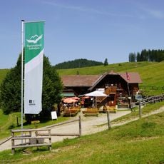
The ascent starts at Viehtaleralm at 823 meters elevation and follows clearly marked trails through forest and open slopes for about 2.5 hours to reach the summit. The route is steady uphill on mountain terrain and requires secure footing and proper hiking equipment for alpine conditions.
From the summit, several major mountain ranges become visible in a single view, including Haller Mauern and other distant peaks. This expansive panorama makes the location a special vantage point that many visitors find unexpected from this particular peak.
The community of curious travelers
AroundUs brings together thousands of curated places, local tips, and hidden gems, enriched daily by 60,000 contributors worldwide.