Enable Location

We need your location to show you interesting places around you

Discover nearby places

Find interesting locations and hidden gems around you

Precise directions

Get accurate directions and distances to places

Your location is never shared with other users. It's only used when you tap the location button.

Manhartsberg

Log in to your account

Start exploring — it's free

Trusted by 65,098 travelers worldwide

Continue with Google
Continue with Apple
or

We will send you a code to connect

By continuing, you accept our Terms and Conditions and our Privacy Policy

Check your inbox

We've sent a pincode in your inbox. Please enter the code below.

Manhartsberg
Discussion Reviews 1 Photos
6.9k Popularity

Manhartsberg, Mountain summit in Lower Austria, Austria.

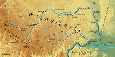
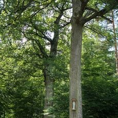
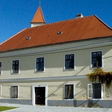
Manhartsberg is a low granite ridge in Lower Austria, reaching around 537 meters above sea level and forming part of the Bohemian massif. Its western slopes are home to the Kamptal-Schönberg nature park, which is recognized as the Kamptal Geopark.

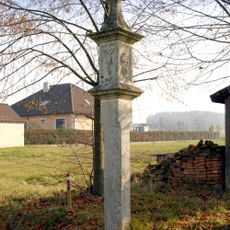
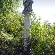
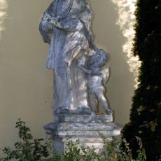
The Manhartsberg is part of the Bohemian massif, one of the oldest rock formations in Central Europe, and has long served as a natural landmark for the surrounding region. During World War II, a secret radar installation called Zangendorf 4 was set up near the summit as part of wartime defense systems.

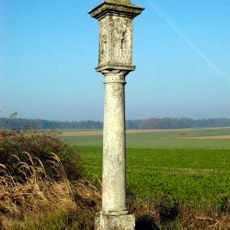
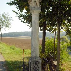
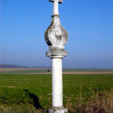
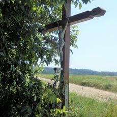
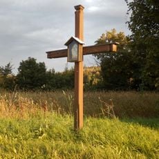
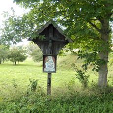
The ridge acts as a natural boundary between the Waldviertel to the north and the Weinviertel to the south, two regions with very different landscapes and local traditions. This contrast is easy to notice while crossing the area, from the forested slopes on one side to the open vineyards on the other.

The area is best explored on foot, with clearly marked trails for walkers of different experience levels. Good hiking shoes and enough water are advisable, especially in warmer months when shade can be limited on the open sections of the ridge.

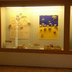
Near the town of Maissau, large deposits of amethyst have been found within the ridge, making this one of the few places in Central Europe where this type of deposit is exposed at the surface. Visitors can explore the open-air amethyst site at Maissau, which allows a close look at the raw crystals in their natural setting.

The community of curious travelers

AroundUs brings together thousands of curated places, local tips, and hidden gems, enriched daily by 60,000 contributors worldwide.

Start exploring
GPS coordinates
48.54390,15.74890
Latest update
March 3, 2026 08:18
Reviews
Share your experience

No review yet

Discussions
Start a discussion...

No discussion yet

« Manhartsberg - Mountain summit in Lower Austria, Austria » is provided by Around Us (aroundus.com). Images and texts are derived from Wikimedia project under a Creative Commons license. You are allowed to copy, distribute, and modify copies of this page, under the conditions set by the license, as long as this note is clearly visible.

Discover hidden gems everywhere you go!

From secret cafés to breathtaking viewpoints, skip the crowded tourist spots and find places that match your style. Our app makes it easy with voice search, smart filtering, route optimization, and insider tips from travelers worldwide. Download now for the complete mobile experience.

Around Us App Screenshot

A unique approach to discovering new places

Le Figaro

All the places worth exploring

France Info

A tailor-made excursion in just a few clicks

20 Minutes

Around Us
Travel Guide & Maps
Download

Send to your phone

QR Code
1

Open the camera app on your mobile.

2

Point at the QR code with your camera. A notification will appear.

3

Tap the notification to open the link.