
Oberkappel, municipality in Rohrbach District, Upper Austria, Austria
Location: Rohrbach District
Elevation above the sea: 511 m
Shares border with: Wegscheid, Kollerschlag, Sarleinsbach, Atzesberg, Pfarrkirchen im Mühlkreis, Neustift im Mühlkreis
Email: marktgemeinde@oberkappel.ooe.gv.at
Website: http://oberkappel.at
GPS coordinates: 48.55306,13.77139
Latest update: March 3, 2025 12:01
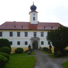
Schloss Altenhof
5.3 km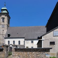
Mary Assumption in Pfarrkirchen im Mühlkreis
6.8 km
Burgstall Kosenburg
4.8 km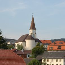
Sankt Ägidius
109 m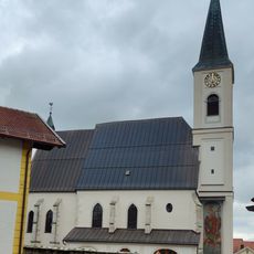
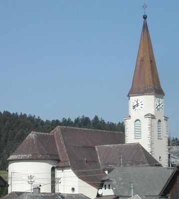
Pfarrkirche St.Jakobus in Gottsdorf
3.7 km
Saint Joseph church in Kollerschlag
7.8 km
Expositurkirche Neustift im Mühlkreis
2.9 km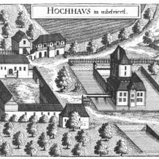
Schloss Hochhaus im Mühlviertel
4.8 km
Burgstall Kühstein
10.1 km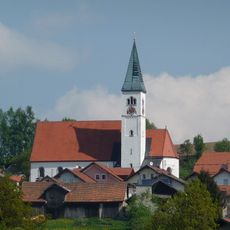
Pfarrkirche Wildenranna
4.1 km
Sieben Schmerzen Mariens
4.1 km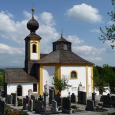
Saint Anne chapel in Wegscheid
5.9 km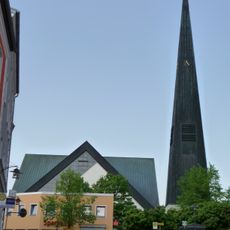
St. Johannes der Täufer
5.5 km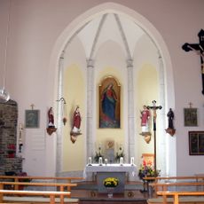
Chapel in Kasberg
7.7 km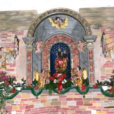
Pfarrkirchen im Mühlkreis - Loreto chapel
6.8 km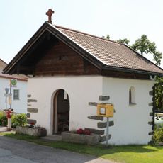
Dorfkapelle
1.6 km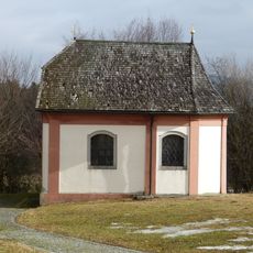
Wasserkapelle in Wegscheid
5.9 km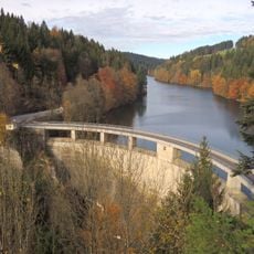
Rannastausee
2.3 km
Glockenturm, Pfarrkirchen im Mühlkreis
6.8 km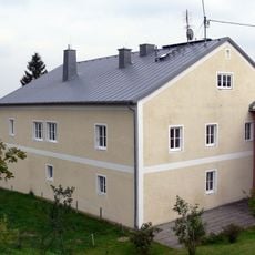
Pfarrhof
6.8 km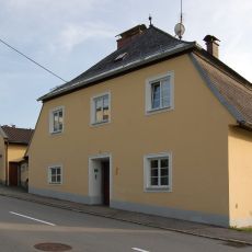
Pfarrhof Oberkappel
244 m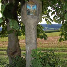
Bildstock Daglesbach 6
7.8 km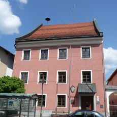
Rathaus, ehemaliges Landgericht
5.5 km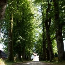
Lindenallee beim Schloß Altenhof
5.4 km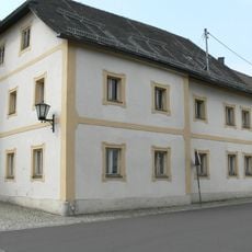
Mesnerhaus
6.8 km
Linde in Altenhof
5.3 km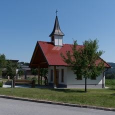
Kapelle Nebelberg
10 km
Drei Friedhofslinden in Kollerschlag
7.8 kmVisited this place? Tap the stars to rate it and share your experience / photos with the community! Try now! You can cancel it anytime.
Discover hidden gems everywhere you go!
From secret cafés to breathtaking viewpoints, skip the crowded tourist spots and find places that match your style. Our app makes it easy with voice search, smart filtering, route optimization, and insider tips from travelers worldwide. Download now for the complete mobile experience.

A unique approach to discovering new places❞
— Le Figaro
All the places worth exploring❞
— France Info
A tailor-made excursion in just a few clicks❞
— 20 Minutes