
Klaffer am Hochficht
Klaffer am Hochficht, municipality in Rohrbach District, Upper Austria, Austria
Location: Rohrbach District
Elevation above the sea: 638 m
Shares border with: Ulrichsberg, Schwarzenberg am Böhmerwald, Nová Pec, Horní Planá
Email: gemeinde@klaffer.ooe.gv.at
Website: http://klaffer.ooe.gv.at
GPS coordinates: 48.69444,13.88611
Latest update: March 3, 2025 02:29

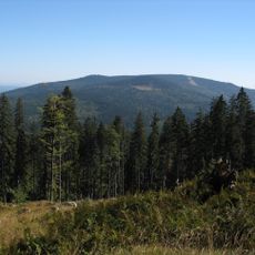
Hochficht
5.3 km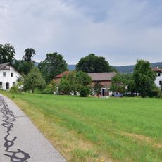
Obermühle
718 m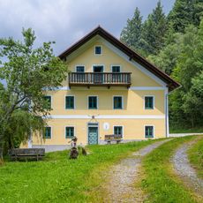
Forsthaus Holzschlag
4.4 km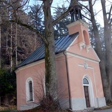
Holzschlag Chapel
4.4 km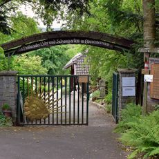
Heilkräutergarten Klaffer am Hochficht
260 m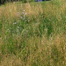
Orchideenwiese in Freundorf
2.2 km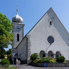
Mary Assumption parish church
111 m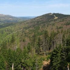
Reischlberg
6.3 km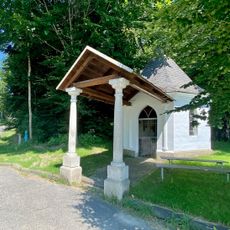
Waldkapelle
4.9 km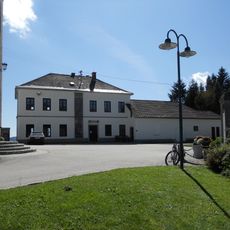
Schwarzenberg am Böhmerwald - Heimatstube
5.7 km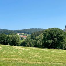
Dachsberg
4.4 km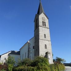
Schwarzenberg am Böhmerwald Parish Church
5.7 km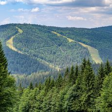
Zwieselberg
4.8 km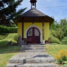
Pfaffetschlag Chapel
1.9 km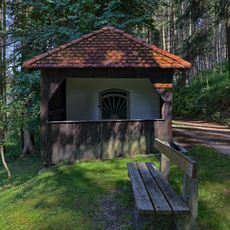
Ascherkapelle
2.6 km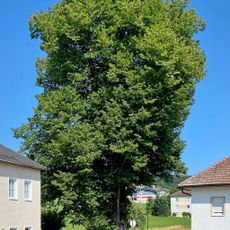
Manzenreiter-Linde
5.6 km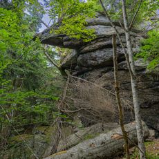
Kaltebenfelsen
4.3 km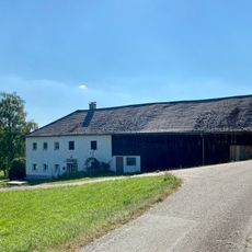
Schlöglhäusel
4 km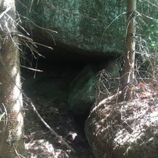
Labyrinthhöhle
7.9 km
Deserteurhöhle
7.2 km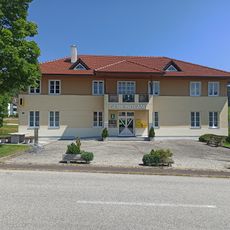
Schwarzenberg am Böhmerwald Municipal Office
5.5 km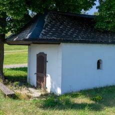
Schönbergkapelle
2.6 km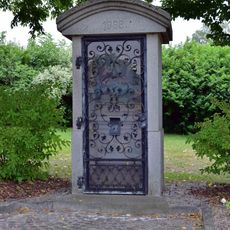
Heimatvertriebenendenkmal
94 m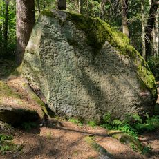
Russenstein
2.5 km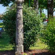
Bildstock
111 m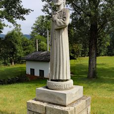
Nicholas of Flüe statue
731 m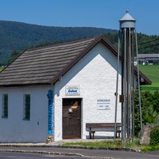
Wassermuseum
258 m
Öffentliche Pfarr- und Gemeindebücherei Schwarzenberg
5.5 kmVisited this place? Tap the stars to rate it and share your experience / photos with the community! Try now! You can cancel it anytime.
Discover hidden gems everywhere you go!
From secret cafés to breathtaking viewpoints, skip the crowded tourist spots and find places that match your style. Our app makes it easy with voice search, smart filtering, route optimization, and insider tips from travelers worldwide. Download now for the complete mobile experience.

A unique approach to discovering new places❞
— Le Figaro
All the places worth exploring❞
— France Info
A tailor-made excursion in just a few clicks❞
— 20 Minutes