
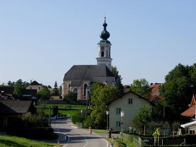
Rottenbach, municipality in Grieskirchen District, Upper Austria, Austria
Location: Grieskirchen District
Elevation above the sea: 424 m
Shares border with: Pram, Wendling, Hofkirchen an der Trattnach, Weibern, Haag am Hausruck
Email: gemeinde@rottenbach.ooe.gv.at
Website: http://rottenbach.gv.at
GPS coordinates: 48.20611,13.68111
Latest update: April 24, 2025 06:50
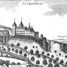
Schloss Starhemberg, Haag am Hausruck
3.7 km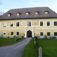
Schloss Innersee
1.2 km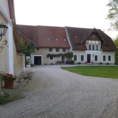
Schloss Roith
4.9 km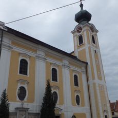
Hofkirchen an der Trattnach parish church
4.5 km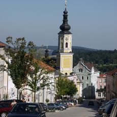
Sankt Vitus (Haag am Hausruck)
3.8 km
Burgstall Rudolfspitz
4.5 km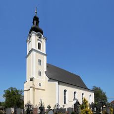
Sankt Stephan (Pram)
6.4 km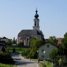
Sankt Petrus
73 m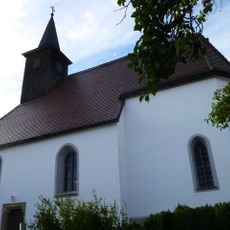
Filialkirche Hehenberg
4.7 km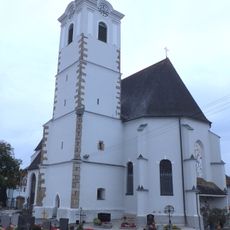
Pfarrkirche hl. Stefan, Weibern
2.9 km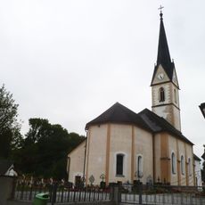
Saint Ulrich of Augsburg Church
3 km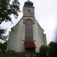
Saint George Church
4.8 km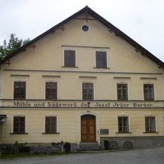
Furthmühle, Pram, Upper Austria
6.2 km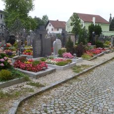
Friedhof der Pfarrkirche
6.4 km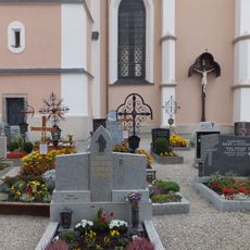
Friedhof
73 m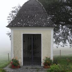
Wegkapelle Renhartsberg
4.7 km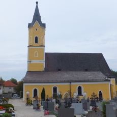
Kath. Filialkirche hl. Ägid und Friedhof mit Arkadengängen
2.7 km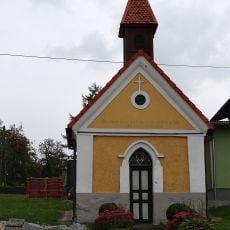
Pestkapelle
5.7 km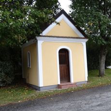
Wegkapelle
4.9 km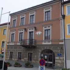
Municipal office in Haag am Hausruck
3.9 km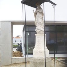
Maria column in Haag am Hausruck
3.8 km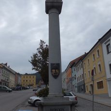
Maria column, war memorial Haag am Hausruck
3.8 km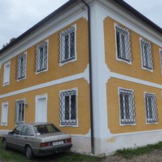
Pfarrhof, ehem. Beneficium
4.6 km
Pfarrhof
134 m
Pfarrhof
3 km
Pfarrhof
6.4 km
Rectory Haag am Hausruck
3.8 km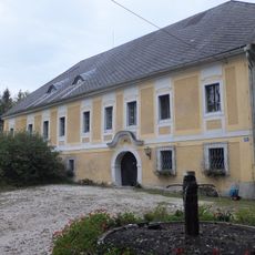
Lindenhof, ehem. Pfarrhof
4.4 kmVisited this place? Tap the stars to rate it and share your experience / photos with the community! Try now! You can cancel it anytime.
Discover hidden gems everywhere you go!
From secret cafés to breathtaking viewpoints, skip the crowded tourist spots and find places that match your style. Our app makes it easy with voice search, smart filtering, route optimization, and insider tips from travelers worldwide. Download now for the complete mobile experience.

A unique approach to discovering new places❞
— Le Figaro
All the places worth exploring❞
— France Info
A tailor-made excursion in just a few clicks❞
— 20 Minutes