
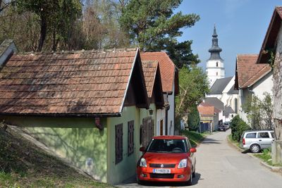
Königstetten, municipality in Tulln District, Lower Austria, Austria
Location: Tulln District
Elevation above the sea: 181 m
Shares border with: Tulln an der Donau, Muckendorf-Wipfing, Zeiselmauer-Wolfpassing, Sankt Andrä-Wördern, Mauerbach, Tulbing
Email: gemeindeamt@koenigstetten.gv.at
Website: http://koenigstetten.gv.at
GPS coordinates: 48.28333,16.11667
Latest update: March 3, 2025 14:30

Castra Cannabiaca
6.8 km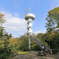
Leopold-Figl-Warte
2.4 km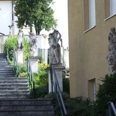
Kirchenstiege
910 m
Pfarrkirche hl. Jakobus d. Ä., Königstetten
2.9 km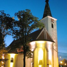
Immaculate Conception Church
6.8 km
Ortskapelle
6 km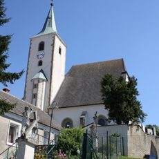
Saint Maurice Church
894 m
Ortskapelle
4.8 km
Nebengebäude des ehem. Schlosses/sogen. Barbarakapelle
2.9 km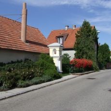
Pestkreuz, Katzelsdorf im Dorf
524 m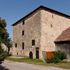
Körnerkasten Zeiselmauer
6.9 km
Fountain Hauptplatz Königstetten
2.9 km
Dreifaltigkeitssäule
2.9 km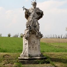
Statue of John of Nepomuk, Katzelsdorf an der Zeil
633 m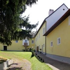
Göttweigerhof
2.8 km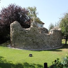
Fächerturm des röm. Kastells
6.9 km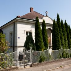
Pfarrhof
6.8 km
Schloss Königstetten
2.9 km
Bildstock
6.2 km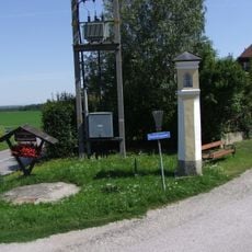
Gerichtsmarterl, Katzelsdorf an der Zeil
606 m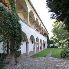
Schloss am Hof
5.6 km
Fundzone Tulbingerfeld
786 m
Gräberfeld Tulbingerfeld
775 m
Figur hl. Johannes Nepomuk
3.4 km
Figur hl. Florian
3.4 km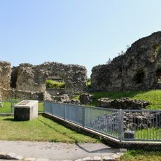
Wehranlage/befestigte Siedlung der Röm. Kaiserzeit, Kohortenkastell Cannabica
6.8 km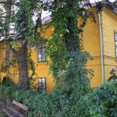
Jägerhaus
1.1 km
Pfarrhof
2.9 kmReviews
Visited this place? Tap the stars to rate it and share your experience / photos with the community! Try now! You can cancel it anytime.
Discover hidden gems everywhere you go!
From secret cafés to breathtaking viewpoints, skip the crowded tourist spots and find places that match your style. Our app makes it easy with voice search, smart filtering, route optimization, and insider tips from travelers worldwide. Download now for the complete mobile experience.

A unique approach to discovering new places❞
— Le Figaro
All the places worth exploring❞
— France Info
A tailor-made excursion in just a few clicks❞
— 20 Minutes