
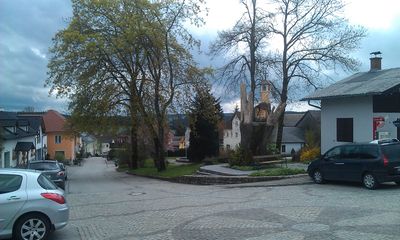
Sallingberg, municipality in Zwettl District, Lower Austria, Austria
Location: Zwettl District
Elevation above the sea: 766 m
Shares border with: Grafenschlag, Ottenschlag
Email: gemeinde@sallingberg.at
Website: http://sallingberg.at
GPS coordinates: 48.46667,15.23278
Latest update: March 2, 2025 23:30
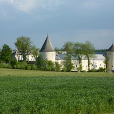
Schloss Ottenschlag
4.7 km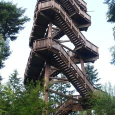
Aubergwarte
7.7 km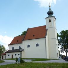
Church of the Assumption (Grainbrunn)
3.7 km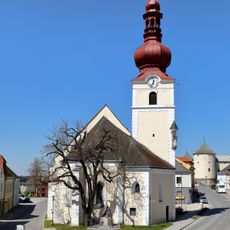
Pfarrkirche Ottenschlag
4.9 km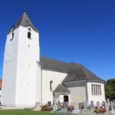
Pfarrkirche hl. Martin, Grafenschlag
6.2 km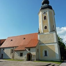
Pfarrkirche Sallingberg
84 m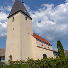
Filialkirche Obernondorf
7.8 km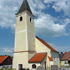
Kath. Pfarrkirche hll. Petrus und Paulus und Friedhof
6.4 km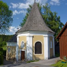
Bründlkapelle Grainbrunn
3.8 km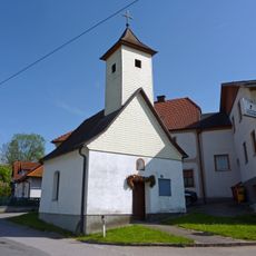
Ortskapelle Kleinhaslau
3.3 km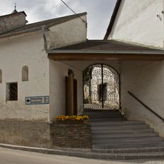
Martinskapelle Purk
5.7 km
Ortskapelle hl. Leonhard
6.6 km
Ortskapelle hl. Laurentius
6.8 km
Ortskapelle Lugendorf
2.4 km
Ortskapelle hl. Maria Hilfe der Christenheit
7.8 km
Ortskapelle Königsbach
6.5 km
Ortskapelle hl. Kajetan
8.5 km
Ortskapelle Großnondorf
2.7 km
Ortskapelle Kaltenbrunn
5.1 km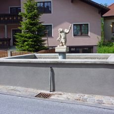
Brunnen
6.5 km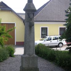
Pranger
6.2 km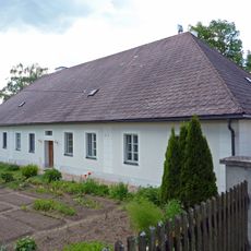
Pfarrhof
3.7 km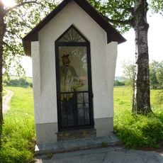
Figurenbildstock hl. Johannes Nepomuk Ottenschlag
4.8 km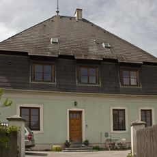
Pfarrhof
5.7 km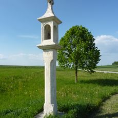
Bildstock Schwedenkreuz
868 m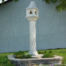
Gedrehtes Kreuz Sallingberg
237 m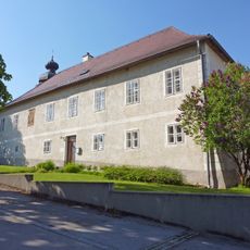
Pfarrhof
56 m
Pfarrhof
5.8 kmReviews
Visited this place? Tap the stars to rate it and share your experience / photos with the community! Try now! You can cancel it anytime.
Discover hidden gems everywhere you go!
From secret cafés to breathtaking viewpoints, skip the crowded tourist spots and find places that match your style. Our app makes it easy with voice search, smart filtering, route optimization, and insider tips from travelers worldwide. Download now for the complete mobile experience.

A unique approach to discovering new places❞
— Le Figaro
All the places worth exploring❞
— France Info
A tailor-made excursion in just a few clicks❞
— 20 Minutes