
Mannsdorf an der Donau, municipality in Gänserndorf District, Lower Austria, Austria
Location: Gänserndorf District
Elevation above the sea: 151 m
Shares border with: Groß-Enzersdorf, Andlersdorf, Orth an der Donau, Haslau-Maria Ellend, Fischamend
Email: gemeinde@mannsdorf.gv.at
Website: http://mannsdorf.at
GPS coordinates: 48.15222,16.66333
Latest update: March 14, 2025 11:29

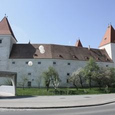
Schloss Orth
2.9 kmCastrum Aequinoctium
5.3 km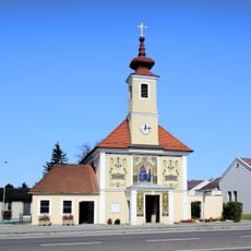
Parish and pilgrimage church Maria Ellend
5 km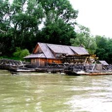
Schiffmühle Orth an der Donau
4.8 km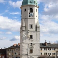
Marktturm Fischamend
5.4 km
Saint Michael Church
5.2 km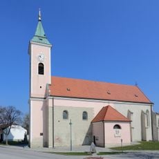
Saint Stephen Church (Probstdorf)
4.3 km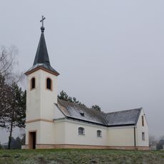
Church of the Nativity of Virgin Mary
3 km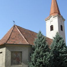
Kath. Filialkirche hl. Nikolaus
3.9 km
Pfarrkirche hl. Michael, Orth an der Donau
3 km
Saint Francis Xavier Church
309 m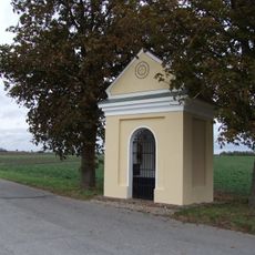
Bründlkapelle
4.7 km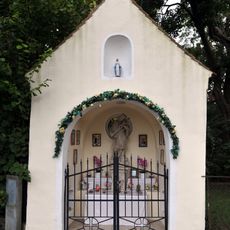
Johannes-Nepomuk-Kapelle
2.8 km
Mariensäule, Orth an der Donau
3 km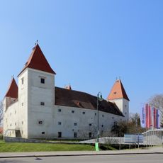
Schloss Orth - Altes Schloss
2.9 km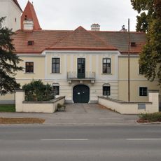
Schloss Orth - Neues Schloss
2.9 km
Pfarrhof, Orth an der Donau
3 km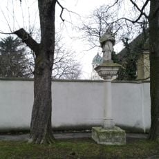
Statue John of Nepomuk, Fischamend
5.2 km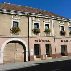
Bürgerhaus, ehem. Gasthof Zum Dampfschiff
5.3 km
Gutshof/Meierhof (herrschaftlich), Ehem. herrschaftlicher Gutshof
5.2 km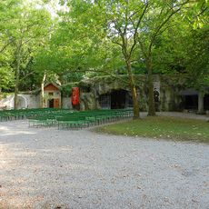
Wallfahrtsanlage
5.2 km
Figurenbildstock
5 km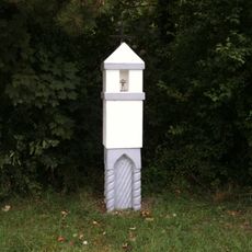
Bildstock
4.4 km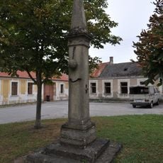
Pranger, Orth an der Donau
3.1 km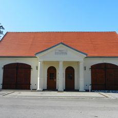
Feuerwehrgebäude
5.4 km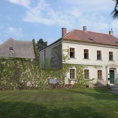
Pfarrhof
4.2 km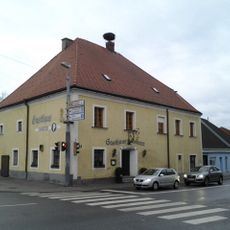
Gasthaus zum Goldenen Kreuz, Fischamend
5.2 km
Pfarrhof
5.3 kmVisited this place? Tap the stars to rate it and share your experience / photos with the community! Try now! You can cancel it anytime.
Discover hidden gems everywhere you go!
From secret cafés to breathtaking viewpoints, skip the crowded tourist spots and find places that match your style. Our app makes it easy with voice search, smart filtering, route optimization, and insider tips from travelers worldwide. Download now for the complete mobile experience.

A unique approach to discovering new places❞
— Le Figaro
All the places worth exploring❞
— France Info
A tailor-made excursion in just a few clicks❞
— 20 Minutes