
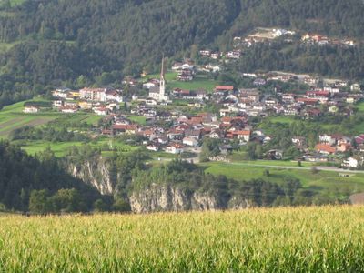
Karres, municipality in Imst District, Tyrol, Austria
Location: Imst District
Elevation above the sea: 830 m
Email: gemeinde@karres.tirol.gv.at
Website: http://karres.tirol.gv.at
GPS coordinates: 47.21944,10.77500
Latest update: March 10, 2025 11:12
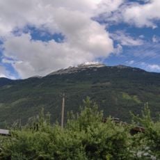
Tschirgant
3 km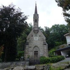
Königskapelle Karrösten
1.3 km
Pitztalbrücke
1.4 km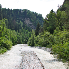
Arzler Pitzeklamm
961 m
Pfarrkirche Karres
129 m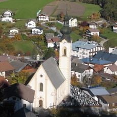
Pfarrkirche Arzl im Pitztal
911 m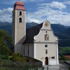
Expositurkirche Karrösten
843 m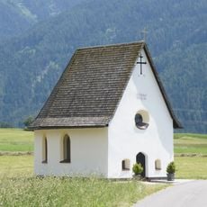
Michaelskapelle Karres
758 m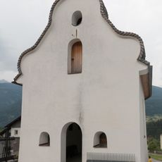
Friedhofskapelle Karres
114 m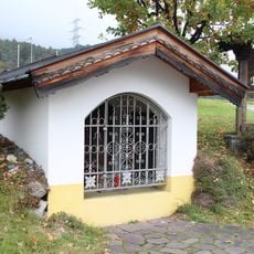
Hinterburschlbildstock
3 km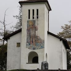
Burschlkapelle, Roppen
3.2 km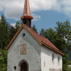
Romedikapelle Brennbichl
1.7 km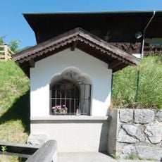
Kapelle hl. Antonius in Roppen
3 km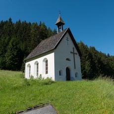
Kapelle hl. Markus in Waldele
2.2 km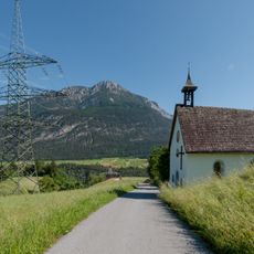
Kapelle hl. Antonius Eremit in Hohenegg
1.9 km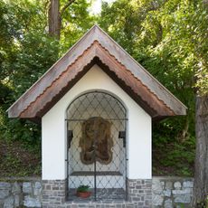
Kapelle hl. Johannes Nepomuk
3.1 km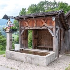
Floriansbrunnen in Oberwaldried
1.4 km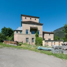
Unterwerk Roppen
3.1 km
Alte Landstraße B1
3 km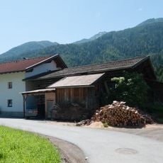
Bauernhaus, Zwiehof mit Wandmalerei
2.8 km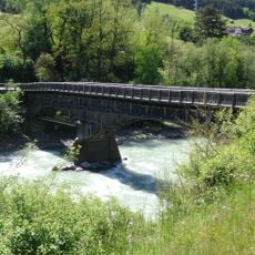
Straßenbrücke, Holzbrücke über den Inn
3.1 km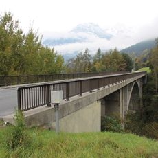
Karresschluchtbrücke
262 m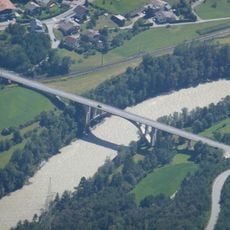
Straßenbrücke, Roppener Innbrücke
3.5 km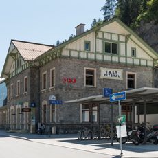
Aufnahmsgebäude Bahnhof Imst-Pitztal
911 m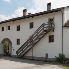
Romedihof Brennbichl
1.7 km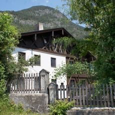
Widum Karres
292 m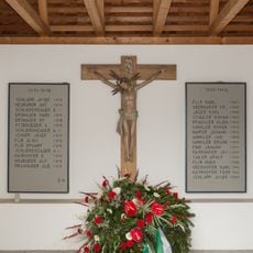
Kriegerdenkmal Karres
109 m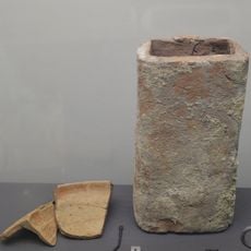
Römische Villa "Auf der Maure" und Gräberfeld
377 mVisited this place? Tap the stars to rate it and share your experience / photos with the community! Try now! You can cancel it anytime.
Discover hidden gems everywhere you go!
From secret cafés to breathtaking viewpoints, skip the crowded tourist spots and find places that match your style. Our app makes it easy with voice search, smart filtering, route optimization, and insider tips from travelers worldwide. Download now for the complete mobile experience.

A unique approach to discovering new places❞
— Le Figaro
All the places worth exploring❞
— France Info
A tailor-made excursion in just a few clicks❞
— 20 Minutes