
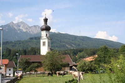
Natters, municipality in Innsbruck-Land District, Tyrol, Austria
Location: Innsbruck-Land District
Elevation above the sea: 783 m
Shares border with: Innsbruck
Email: gemeinde@natters.tirol.gv.at
Website: http://natters.tirol.gv.at
GPS coordinates: 47.23389,11.37333
Latest update: March 11, 2025 12:06
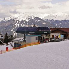
Muttereralmbahn
1.4 km
Burg Sonnenburg
1.3 km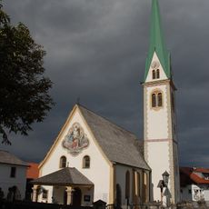
Saint Nicholas Church
739 m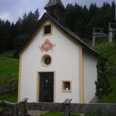
Nockhof
2.1 km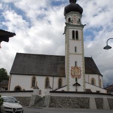
Sankt Michael
111 m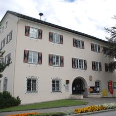
Ansitz Waidburg
194 m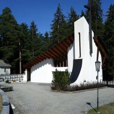
Waldfriedhof Mutters
977 m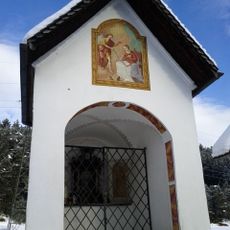
Seifenskapelle, Junggesellenkapelle
1.2 km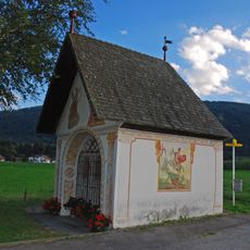
Feldkapelle, Höll-Kapelle
3.4 km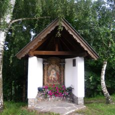
Berger-Kapelle
3.1 km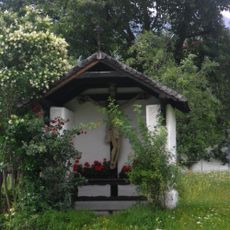
Hofkapelle, Eichhof-Kapelle
1.4 km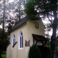
Hofkapelle, Angerhof-Kapelle
219 m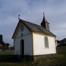
Taxer-Kapelle, Wieshaber-Kapelle
840 m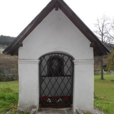
Kapelle zum Klarenhof
1.1 km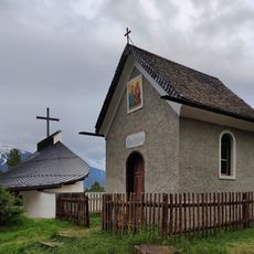
Waldkapelle, Mutters
1 km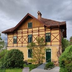
Brennhütte
700 m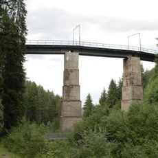
Mutterer Brücke, Stubaitalbahn
1.5 km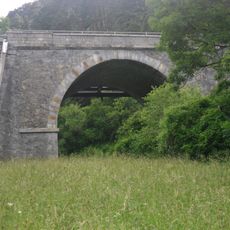
Straßenbrücke bei Gärberbach
975 m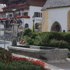
Wendelinbrunnen, Mutters
765 m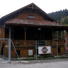
Holzveranda beim Zenzenhof
1.5 km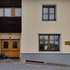
Öffentliche Bücherei Mutters
736 m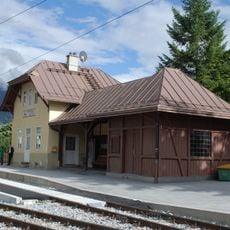
Aufnahmsgebäude Bahnhof Mutters
693 m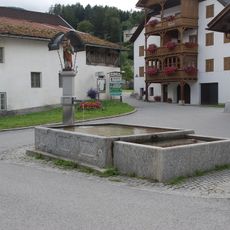
Nikolausbrunnen
31 m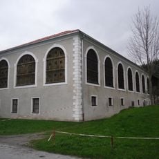
Verwalterhaus des Zenzenhofes
1.6 km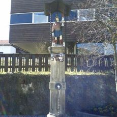
Florianbrunnen, Mutters
719 m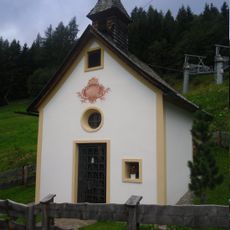
Nockhof-Kapelle, Leonhardskapelle
2.4 km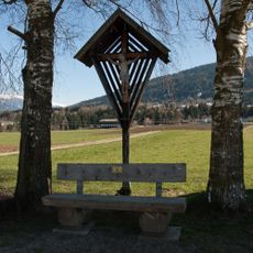
Kruzifix Einethöfe, Götzens
3.4 km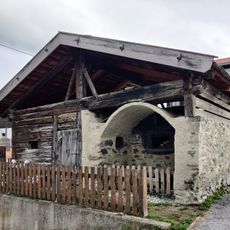
Backofen beim Temlhof, Mutters
745 mReviews
Visited this place? Tap the stars to rate it and share your experience / photos with the community! Try now! You can cancel it anytime.
Discover hidden gems everywhere you go!
From secret cafés to breathtaking viewpoints, skip the crowded tourist spots and find places that match your style. Our app makes it easy with voice search, smart filtering, route optimization, and insider tips from travelers worldwide. Download now for the complete mobile experience.

A unique approach to discovering new places❞
— Le Figaro
All the places worth exploring❞
— France Info
A tailor-made excursion in just a few clicks❞
— 20 Minutes