Innsbruck-Land District
Innsbruck-Land District, Administrative district in Tyrol, Austria.
Description
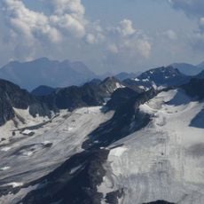
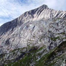
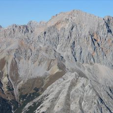
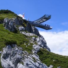
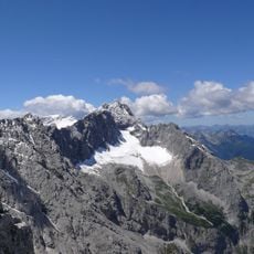
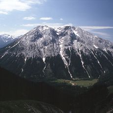
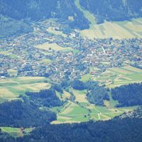
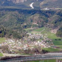
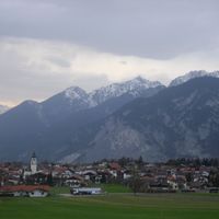
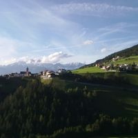
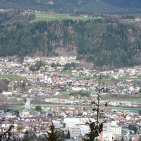
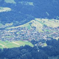
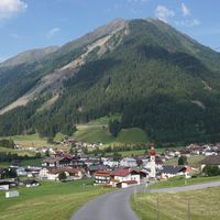
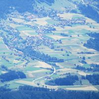
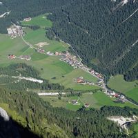
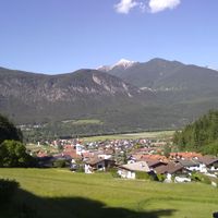
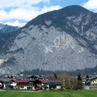
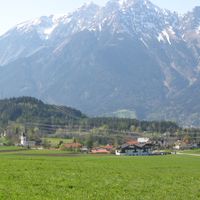
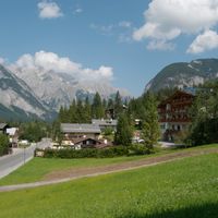
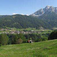
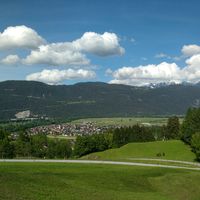
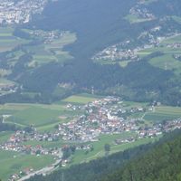
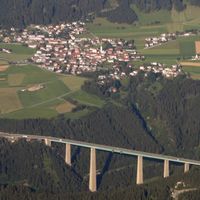
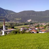
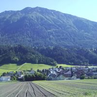
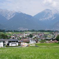
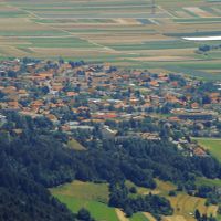
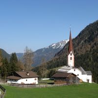
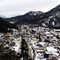
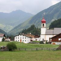
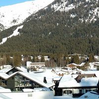
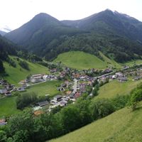
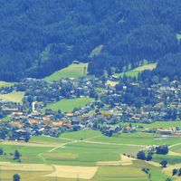
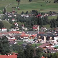
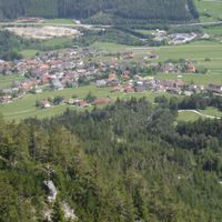
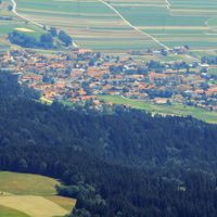
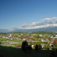
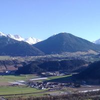
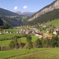
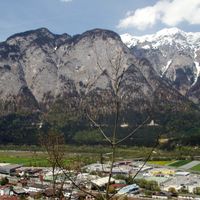
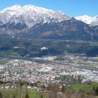
Innsbruck-Land District is an administrative area in Tyrol covering approximately 1,990 square kilometers of Alpine terrain. It encompasses portions of the Inn valley and several mountain ranges including the Stubai and Tux Alps.
History
The area was created in 1868 during Habsburg administrative reforms as part of a new system that reshaped regional governance across the empire. This organizational change shaped the region's structure for generations to come.
Culture
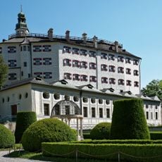
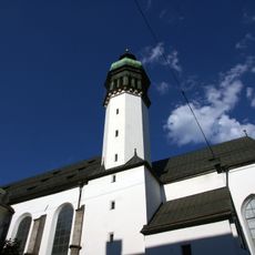
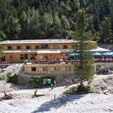
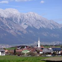
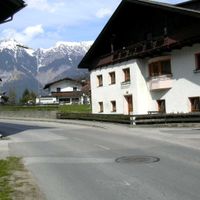
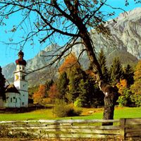
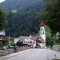
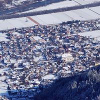
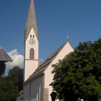
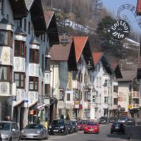
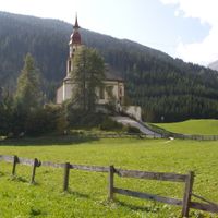
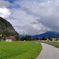
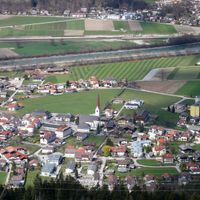
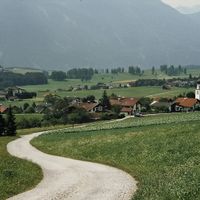
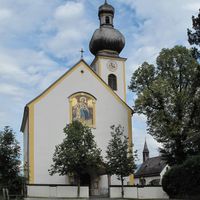
The region holds 63 municipalities that maintain their Tyrolean character through year-round festivals, traditional building styles, and mountain community practices. Visitors encounter these customs woven into daily life and the surrounding landscape.
Practical
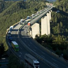
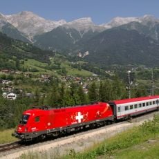
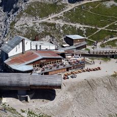
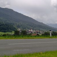
The area is accessible through a network of roads leading through valleys and mountain passes. The best time to visit is from late spring through early fall, when roads are passable and weather is favorable.
Did you know?
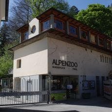
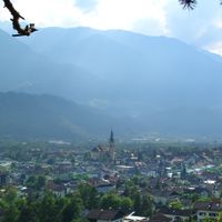
Innsbruck city, though serving as the administrative center, lies outside the district boundaries and belongs administratively to a separate area. This creates an unusual situation where the administrative hub is geographically distinct.
AroundUs brings together thousands of curated places, local tips, and hidden gems, enriched daily by 60,000 contributors worldwide. Discover all places nearby (Tyrol).
Golden Roof
7.7 km
Europabrücke
288 m
Swarovski Fountain
18.4 km
Ambras Castle
6.8 km
Swarovski Crystal Worlds
18.5 km
Mittenwald Railway
28.5 km
Stubaier Gletscher
32.3 km
Arlberg railway
7 km
Alpspitze
36.9 km
Hungerburgbahn
9.2 km
King's House on Schachen
32.7 km
Hofkirche
7.6 km
Tomb of Maximilian I, Holy Roman Emperor
7.6 km
Hochwanner
34 km
Patscherkofel
4.7 km
Nordkettenbahn
12 km
Hofburg, Innsbruck
7.7 km
Interalpen-Hotel Tyrol
25.4 km
Innsbruck Cathedral
7.7 km
Höllentalanger Hut
38.8 km
AlpspiX
37.5 km
Zuckerhütl
32.2 km
Olperer
25.5 km
Höllentalferner
39.5 km
Triumphpforte
7 km
Alpenzoo Innsbruck
9.1 km
Hohe Munde
29.7 km
Karwendelbahn
28.3 km
Absam
Aldrans
Ampass
Axams
Baumkirchen
Birgitz
Ellbögen
Flaurling
Fritzens
Fulpmes
Gnadenwald
Götzens
Gries am Brenner
Gries im Sellrain
Grinzens
Gschnitz
Hall in Tirol
Hatting
Inzing
Kematen in Tirol
Kolsass
Kolsassberg
Lans
Leutasch
Matrei am Brenner
Mieders
Mutters
Natters
Navis
Neustift im Stubaital
Oberhofen im Inntal
Obernberg am Brenner
Oberperfuss
Patsch
Pettnau
Pfaffenhofen
Polling in Tirol
Ranggen
Reith bei Seefeld
Rinn
Rum
Sankt Sigmund im Sellrain
Scharnitz
Schmirn
Schönberg im Stubaital
Seefeld in Tirol
Sellrain
Sistrans
Steinach am Brenner
Telfes im Stubai
Telfs
Thaur
Trins
Tulfes
Unterperfuss
Vals, Tyrol
Völs
Volders
Wattenberg
Wattens
Wildermieming
Zirl
Mils
Discover hidden gems everywhere you go!
From secret cafés to breathtaking viewpoints, skip the crowded tourist spots and find places that match your style. Our app makes it easy with voice search, smart filtering, route optimization, and insider tips from travelers worldwide. Download now for the complete mobile experience.
A unique approach to discovering new places❞
— Le Figaro
All the places worth exploring❞
— France Info
A tailor-made excursion in just a few clicks❞
— 20 Minutes