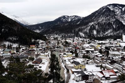
Scharnitz, Mountain municipality in Innsbruck-Land district, Austria.
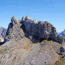
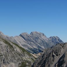
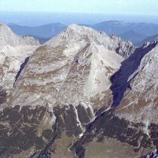
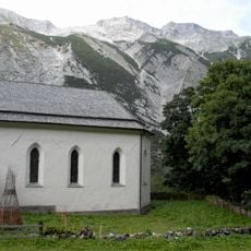
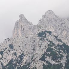
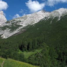
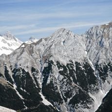
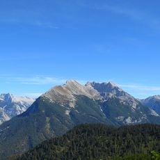
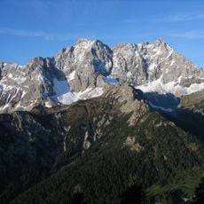
Scharnitz is a mountain municipality in the Innsbruck-Land district, stretching across several valleys with small settlements such as Au, Eisack, and Gießenbach. The village lies in the Tyrolean Alps and is shaped by the flow of the Isar river through the region.
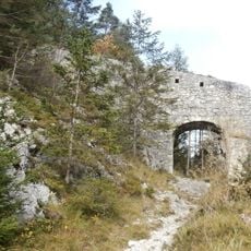
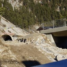
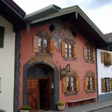
The settlement developed in the Middle Ages as an important point along the trade route connecting Germany with Italy over Alpine passes. This strategic location shaped the area as a crossroads between two regions.
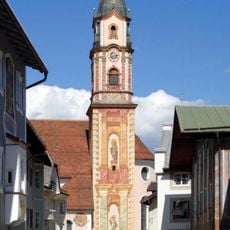
The December market brings locals and visitors together to discover regional products and handmade goods from the area. The event shows how the community celebrates its traditions and keeps local customs alive.
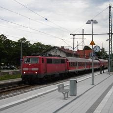
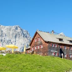
The place is spread across multiple valleys, so a car is helpful for exploring the different settlements and the surrounding area. The village is easily accessible from larger towns and offers access to hiking trails and nearby services.
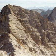
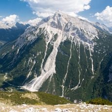
The place marks the western entrance to the Hinterau valley, where the Isar river originates in the Tyrolean mountains. This source area makes it a special spot for those wanting to trace the river back to its beginning.
Location: Innsbruck-Land District
Elevation above the sea: 964 m
Shares border with: Innsbruck, Seefeld in Tirol, Zirl, Absam, Vomp, Mittenwald, Leutasch, Hötting
Email: gemeinde@scharnitz.tirol.gv.at
Website: https://scharnitz.tirol.gv.at
GPS coordinates: 47.38833,11.26500
Latest update: December 7, 2025 19:22
Mittenwald Railway
5.7 km
Karwendelbahn
5.6 km
Birkkarspitze
13.3 km
Westliche Karwendelspitze
5.3 km
Falkenhütte
17.6 km
Porta Claudia
865 m
Großer Bettelwurf
19.8 km
Östliche Karwendelspitze
13.4 km
Laliderer Spitze
17.7 km
Sankt Magdalena
18.5 km
Porta-Claudia-Tunnel
540 m
Pfarrkirche St. Peter und Paul
6 km
Viererspitze
5.9 km
Kaltwasserkarspitze
14.1 km
Große Arnspitze
3.4 km
Pleisenspitze
6.2 km
Seefelder Jochbahn
5.9 km
Tiefkarspitze
6.9 km
Lalidererspitzen-Biwak
18 km
Grubenkarspitze
19.4 km
Breitgrieskarspitze
8.8 km
Große Seekarspitze
9.7 km
Grosser Lafatscher
14.9 km
Geigenbaumuseum
6.1 km
Sunntigerspitze
16.5 km
Speckkarspitze
17.4 km
Hoher Gleirsch
7.5 km
Hochkarspitze
9.2 kmVisited this place? Tap the stars to rate it and share your experience / photos with the community! Try now! You can cancel it anytime.
Discover hidden gems everywhere you go!
From secret cafés to breathtaking viewpoints, skip the crowded tourist spots and find places that match your style. Our app makes it easy with voice search, smart filtering, route optimization, and insider tips from travelers worldwide. Download now for the complete mobile experience.
A unique approach to discovering new places❞
— Le Figaro
All the places worth exploring❞
— France Info
A tailor-made excursion in just a few clicks❞
— 20 Minutes