Hoher Gleirsch, Mountain summit in the Gleirsch-Halltal chain, Karwendel, Tyrol, Austria
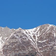
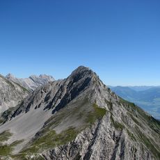
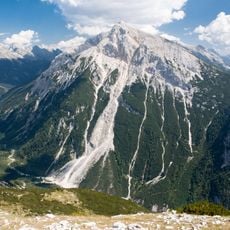
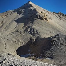
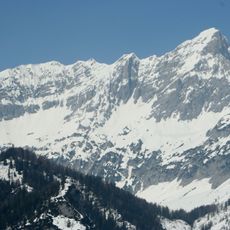
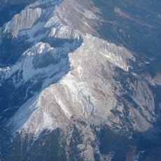
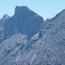
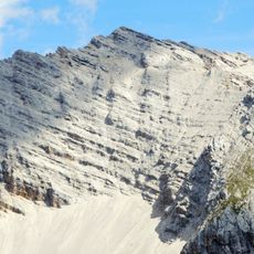
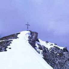
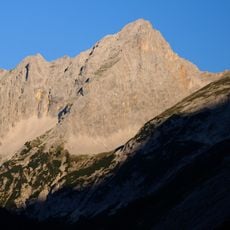
Hoher Gleirsch is a 2,492 m summit in the Karwendel, the westernmost peak of the Gleirsch-Halltal chain southeast of Scharnitz. Its north side drops in rock walls up to 900 m to the Hinterautal, where the Isar rises; the southwest is shaped by scree slopes that gave the mountain its name, from Romansh glarea, gravel.
The first ascent was made in 1859 by Leopold Pfaundler von Hadermur, Robert von Hörmann, Hugo von Enzenberg and Josef von Trentinaglia during their survey of the Gleirsch-Halltal chain, which also covered geological and botanical studies. The climbing routes on the north walls were opened in the first half of the 20th century, with Otto Herzog and Gustav Haber leaving traces on the northwest wall.
The name derives from the Romansh word glarea, meaning scree, after the slopes on the mountain's southwest side. The first ascent on 1859 was made by Leopold Pfaundler von Hadermur, Robert von Hörmann, Hugo von Enzenberg and Josef von Trentinaglia during their survey of the Gleirsch-Halltal chain, which also covered geological and botanical studies.
The trail to the summit starts from Scharnitz and follows marked paths through varied terrain. Plan to start early and bring plenty of water, as weather conditions can change quickly at higher elevations.
The name derives from the Romansh word glarea, meaning scree, after the debris fields on the south-western flank. The first ascent was made in 1859 by Leopold Pfaundler von Hadermur, Robert von Hörmann, Hugo von Enzenberg and Josef von Trentinaglia during their survey of the Gleirsch-Halltal chain, which also covered geological and botanical studies.
The community of curious travelers
AroundUs brings together thousands of curated places, local tips, and hidden gems, enriched daily by 94,419 contributors worldwide.