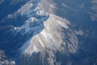
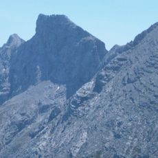
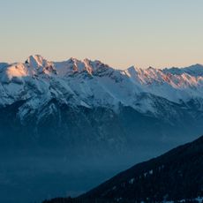
Vordere Brandjochspitze, Mountain peak in Nordkette range, Tyrol, Austria
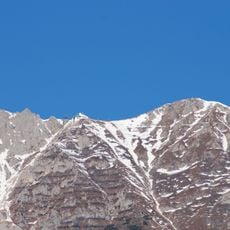
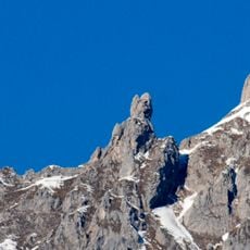
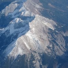
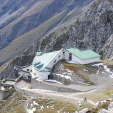
Vordere Brandjochspitze is a mountain peak in the Nordkette range featuring steep slopes and limestone rock formations. The summit sits near Innsbruck and can be reached by several climbing routes that vary in difficulty.
The mountain received its first documented ascent in 1867, which led to establishing a key climbing route in the area. This early exploration helped develop mountaineering activity in the Tyrol region.
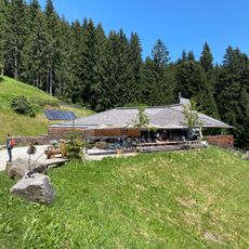
The mountain is part of the Nordkette range, which frames Innsbruck's skyline and offers accessible outdoor opportunities for people from the city. Locals and visitors frequently use the area for day excursions into nature.
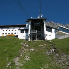
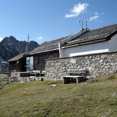
The standard route from Frau Hitt Saddle is achievable for climbers with basic alpine experience and proper footwear. Visitors should start early and be ready for changing weather conditions common in high mountain areas.
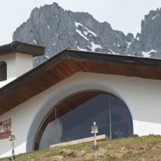
The mountain is composed of Triassic Wetterstein limestone with distinctive rock patterns characteristic of this range. These geological features make the rock formations around the summit visually striking compared to other nearby peaks.
The community of curious travelers
AroundUs brings together thousands of curated places, local tips, and hidden gems, enriched daily by 60,000 contributors worldwide.