Allerheiligenhöfe, Residential district in Innsbruck, Austria.
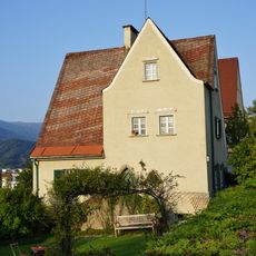
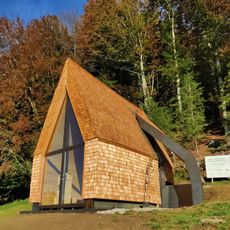
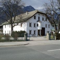
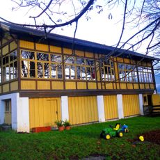
Allerheiligenhöfe is a residential district in Innsbruck situated at roughly 662 meters in elevation and surrounded by mountains such as Frau Hitt and Kleiner Solstein. The area contains homes of varying styles and ages connected by narrow streets and small squares.
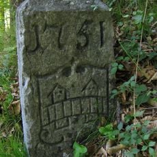
The district originated in the 14th century as an early settlement, with buildings like Kerschbuchhof documented as far back as 1305. It remained the only inhabited place between Hötting and Kranebitten until the late 19th century, when modern growth began to transform the area.
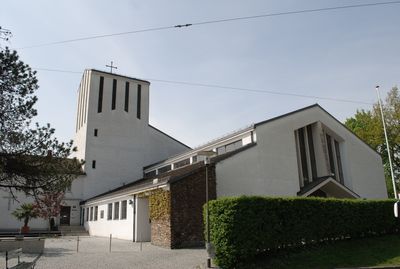
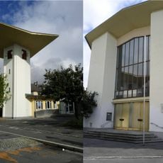
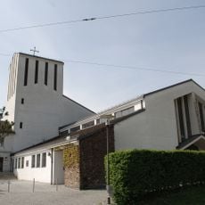
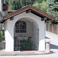
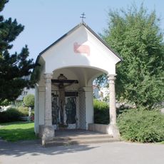
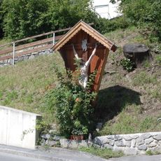
The district takes its name from the Allerheiligen Church, which forms the center of the residential area. The church continues to shape how the place looks and functions today, serving as a gathering point where the community organizes its local life.
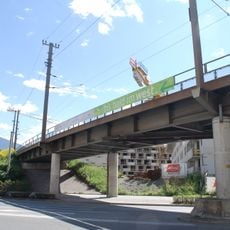
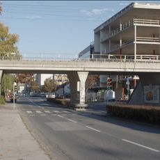
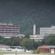
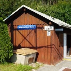
The Allerheiligen train station on the Mittenwald railway offers regular connections to Innsbruck's city center, about 2.5 kilometers away. The station makes it convenient for visitors to arrive in the area and explore the surroundings without needing a car.
The construction of the Mittenwald railway between 1910 and 1912 transformed this zone from a sparsely settled area struggling with water scarcity into an accessible residential region. The railway was crucial in enabling growth, as water shortages had previously posed a serious obstacle to development.
The community of curious travelers
AroundUs brings together thousands of curated places, local tips, and hidden gems, enriched daily by 60,000 contributors worldwide.