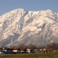
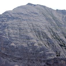
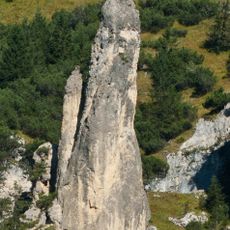
Rosskopf, Limestone summit in Tyrol, Austria.
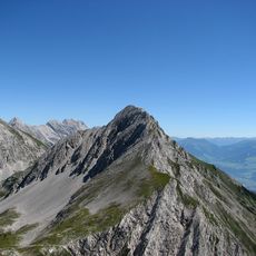
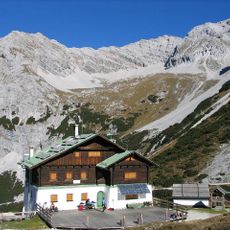
Rosskopf is a 2,670 m summit in the Karwendel range, set in a side ridge of the Gleirsch-Halltal chain between the Hintere Bachofenspitze to the north and the Stempeljochspitzen to the south. It rises above the head of the Halltal valley in Tyrol. The easiest ascent leaves the Pfeishütte (1,922 m) and takes about four hours through the Mittleres Sonntagkar, climbing northeast over Schrofen to the northwest ridge and bypassing a notch west of the top.
The first recorded ascent of Rosskopf was on 14 June 1870. The mountain rises to 2,670 m in a side ridge of the Gleirsch-Halltal chain, between the Hintere Bachofenspitze to the north and the Stempeljochspitzen to the south. The easiest route still starts at the Pfeishütte at 1,922 m and takes about four hours through the Mittleres Sonntagkar.
The normal route starts at the Pfeishütte at 1,922 m and climbs through the Mittleres Sonntagkar in about four hours, gaining roughly 750 m to the 2,670 m summit. The first ascent is recorded on 14 June 1870. The peak lies between the Hintere Bachofenspitze to the north and the Stempeljochspitzen to the south.
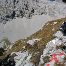
Access to the summit follows marked hiking trails that offer different difficulty levels and lengths. Visitors should expect varying demands on fitness and experience depending on their chosen route.
The first recorded ascent was on 14 June 1870. The easiest route starts at the Pfeishütte (1,922 m) and takes about four hours through the Mittleres Sonntagkar, climbing northeast over Schrofen to the northwest ridge, bypassing a notch west of the summit.
The community of curious travelers
AroundUs brings together thousands of curated places, local tips, and hidden gems, enriched daily by 93,521 contributors worldwide.