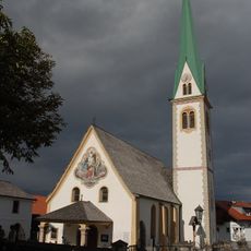
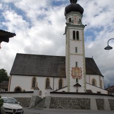
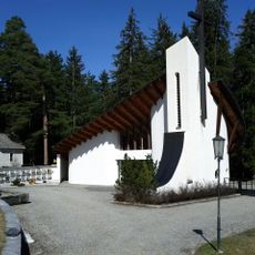
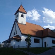
Mutters, Rural municipality in Tyrol, Austria
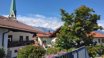
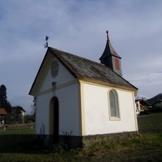
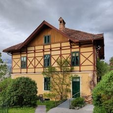
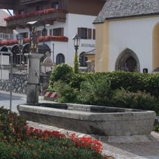
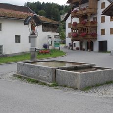
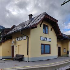
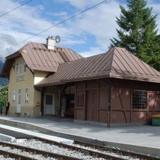
Mutters is a small village at the entrance of the Stubaital valley in North Tyrol, Austria, situated at about 830 meters elevation. The settlement features traditional houses with wooden facades and sloped roofs, surrounded by green meadows and forested hills.
The village is an ancient settlement with a history spanning over 3,000 years. During the 1809 battles at Bergisel, it served as a base for local hero Andreas Hofer.
The name Mutters comes from the Rhaeto-Romance word 'Mutt', meaning hill, reflecting the village's position on a low mountain terrace. Daily life moves at a slow pace here, centered around farming and neighbors gathering in the streets to chat.
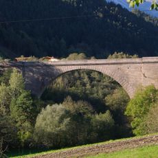
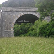
The village is easily accessible from Innsbruck and has small shops, cafes, and inns for visitors. The surrounding area offers marked hiking trails and bike routes through meadows and forests suitable for various skill levels.
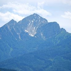
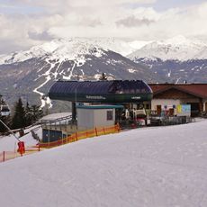
The Muttereralm cable car transports visitors from 830 to 1608 meters elevation, offering panoramic views of the Inn Valley and surrounding mountains. In winter, the same area becomes a ski resort with slopes for families and beginners plus toboggan runs.
The community of curious travelers
AroundUs brings together thousands of curated places, local tips, and hidden gems, enriched daily by 60,000 contributors worldwide.