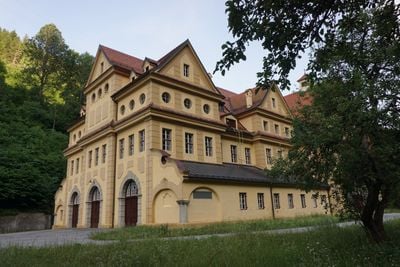
Ruetzkraftwerk, Protected hydroelectric station in Schönberg im Stubaital, Austria
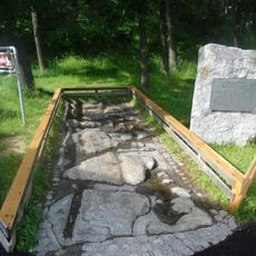
The Ruetzkraftwerk is a run-of-river power station in the Stubaital that generates electricity from the Ruetz River. The facility uses a water level difference of approximately 175 meters and sits at about 707 meters elevation near Stephans Bridge.
The facility was built between 1909 and 1912 and initially supplied power to the Mittenwaldbahn railway. In 1983 it switched to supplying the public electricity grid.
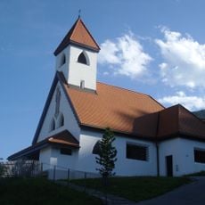
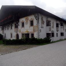
The station features architectural elements from the early industrial era, with a machine house and director's villa that reflect construction methods of that time. Visitors can observe these preserved structures and understand how people designed industrial buildings in that period.
The power station is reachable via hiking trails and offers views of the mountain scenery. The best time to visit is during dry weather, when the paths are easy to walk.
A set of the original 1912 machinery was preserved and transferred to the Technical Museum Vienna. This historic piece shows visitors how the equipment worked back then.
Location: Schönberg im Stubaital
Elevation above the sea: 707 m
Shares border with: Obere Sill power station
Address: Ruetzwerkstraße 8
Website: http://www2.ikb.at/geschaeftsbereich/strom/stromerzeugung/kraftwerke/kw_ruetz
GPS coordinates: 47.20030,11.39170
Latest update: December 9, 2025 12:28
Europabrücke
804 m
Europakapelle
533 m
Stephansbrücke
1.2 km
Pfarrkirche Patsch
1.8 km
Pfarrkirche hl. Kreuz, Schönberg im Stubaital
1.9 km
Römerstraße
549 m
Kath. Filialkirche Herz-Jesu
1 km
Friedhof christlich
1.9 km
Schöberl-Kapelle
1.6 km
Kath. Filialkirche Mariä Himmelfahrt in Unterberg
664 m
Rohrbrücke
1.4 km
Stefansbrücke
1.2 km
Rohrbrücke
1.3 km
Bauernhaus Trolf
1.8 km
Patsch, Messnerhaus
1.8 km
Wittingwarte
1.7 km
Bauernhaus, Schöberlhof
1.5 km
Kreither Viadukt, Mutters
1.1 km
Bâtiment de la gare de Kreith
847 m
Widum
1.8 km
Patsch, Widum
1.7 km
Wohnhaus, Nedlhaushof
701 m
Sog. Papstl
1.2 km
Kretschy-Denkmal
1.7 km
Gemeindeamt und Volksschule, ehem. Gasthof Domanig
1.9 km
Rohrbrücke
1.4 km
Patsch, Kornkasten
1.8 km
Wegkreuz
1.7 kmVisited this place? Tap the stars to rate it and share your experience / photos with the community! Try now! You can cancel it anytime.
Discover hidden gems everywhere you go!
From secret cafés to breathtaking viewpoints, skip the crowded tourist spots and find places that match your style. Our app makes it easy with voice search, smart filtering, route optimization, and insider tips from travelers worldwide. Download now for the complete mobile experience.
A unique approach to discovering new places❞
— Le Figaro
All the places worth exploring❞
— France Info
A tailor-made excursion in just a few clicks❞
— 20 Minutes