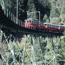
Europabrücke, Steel road bridge in Tyrol, Austria
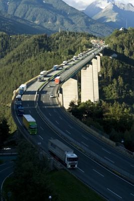
Europabrücke is a steel road bridge in Tyrol that crosses the Wipp Valley at a height of about 190 meters (623 feet) with a total length of 777 meters (2,549 feet). The structure consists of girders supported by tall piers rising from the valley floor between Schönberg im Stubaital and Patsch.
The structure opened on November 17, 1963, and held the record as the tallest bridge in Austria until 1974. Its construction was part of the Brenner Autobahn project to improve traffic flow between Germany and Italy after World War II.
The name Europa Bridge symbolizes the connection between Germanic and Latin European regions, serving as a vital link between Germany and Italy through Austria.
The crossing is part of the A13 Brenner Autobahn and European route E45 and carries daily traffic from trucks and cars. Drivers using this motorway pass over the structure without special access restrictions but should be cautious during windy conditions.
The longest span between two supports measures 198 meters (650 feet) and rests on piers anchored deep into the rock. Maintenance requires special techniques because the structure faces extreme temperature changes and strong winds throughout the year.
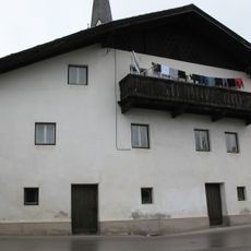
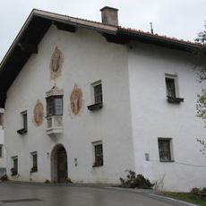
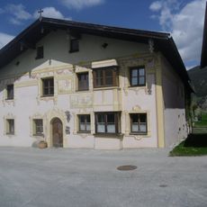
The community of curious travelers
AroundUs brings together thousands of curated places, local tips, and hidden gems, enriched daily by 60,000 contributors worldwide.