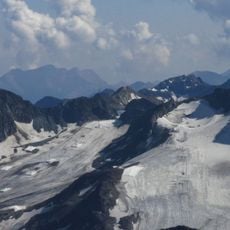
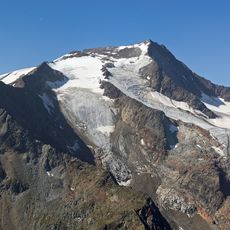
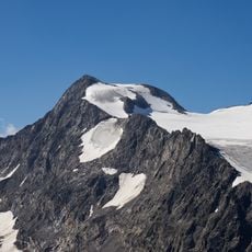
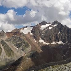
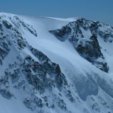
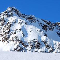
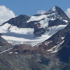
Zuckerhütl, Summit peak in Neustift im Stubaital, Austria.
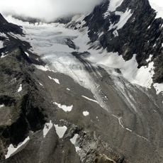
Zuckerhütl is a 3,505-metre mountain in the Stubai Alps, the range's highest peak, at the southern end of the Stubaital Valley in Tyrol. Its conical east side gives it the sugarloaf shape that names it, while the west side is rocky and forbidding. The Sulzenauferner glacier drops 1,000 metres down the north face, and a 500-metre cliff falls from the summit on the south.
The summit was first reached in 1862 by the German alpinist Joseph Anton Specht, a founder member of the German Alpine Club. The normal route today follows the east ridge, and the mountain is climbed as the highest peak of the Stubai Alps.
The name Zuckerhütl comes from the German word for sugarloaf, after the conical shape visible from the entrance of the Stubaital. In nearby Italy the peak is called Pan di Zùcchero, the Italian term for sugarloaf. The north face's Sulzenauferner glacier, falling roughly 1,000 metres from the summit, is the view that gave the mountain its name.
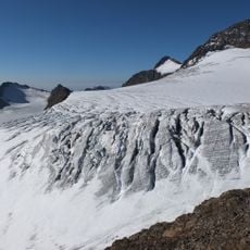
The normal route runs from the glaciated Pfaffensattel (3,344 m) over the east ridge, with glacier below and rock in the upper section in summer. The saddle is reached from the Sulzenauhütte, Dresdner Hütte or Hildesheimer Hütte across the Sulzenauferner, where crevasses require glacier equipment and experience. In summer local guides advise against the climb because of rockfall and offer it only in winter, suggesting the neighbouring Pfaffenschneide instead.
The north face is home to the Sulzenauferner glacier, a large ice field that flows visibly downward from the summit. This glacier system demonstrates how ice covers significant vertical distance on the mountain.
The community of curious travelers
AroundUs brings together thousands of curated places, local tips, and hidden gems, enriched daily by 92,882 contributors worldwide.