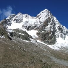
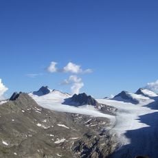
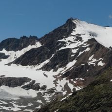
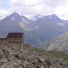
Sölden, Alpine municipality in Ötztal Valley, Austria
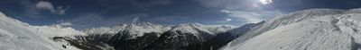
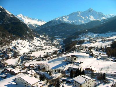
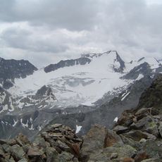
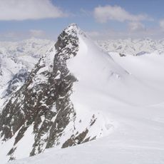
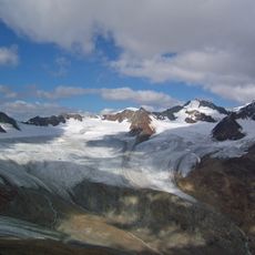
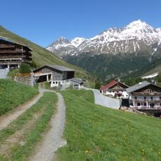
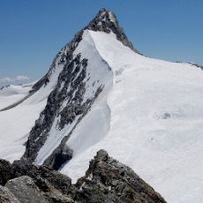
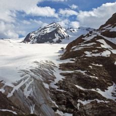
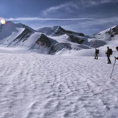
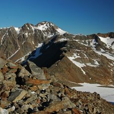
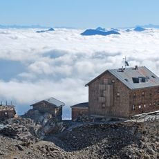
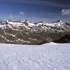
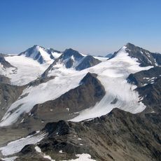
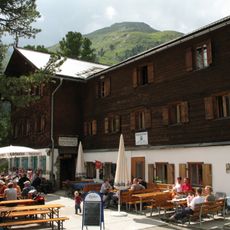
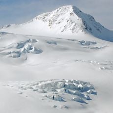
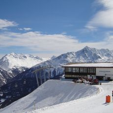
Sölden is a municipality in the Ötztal that spreads across a large valley containing several villages and hamlets. Houses, shops, and churches are scattered along the valley floor, while steep mountain slopes and glaciers rise on all sides.
The area was settled in ancient times, as archaeological discoveries have shown. The municipality took shape during the Middle Ages when organized settlements first formed in the valley.
The local Tyrolean dialect shapes daily conversation throughout the valley in a way visitors immediately notice. This way of speaking reflects the region's distinct identity and appears naturally in shops, restaurants, and on the streets.
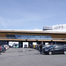
The area is easily reached by car and has good road connections into the Alps. Hotels, restaurants, and shops are spread across the different villages, so you will need to drive between them to find everything.
The area is known for its role in the discovery of a mummified person thousands of years old. This was a rare find that attracted worldwide scientific attention.
Location: Imst District
Elevation above the sea: 1,368 m
Shares border with: Graun im Vinschgau, Mals, Moos in Passeier, Ratschings, Schnals, Sankt Leonhard im Pitztal, Längenfeld
Email: gemeinde@soelden.tirol.gv.at
Website: https://soelden.tirol.gv.at
GPS coordinates: 46.96667,11.00000
Latest update: December 13, 2025 15:22
Wildspitze
13.6 km
Stubaier Gletscher
9.1 km
Rettenbach glacier
5.9 km
Zuckerhütl
11.7 km
Gepatschspeicher
20 km
Vernagtferner
17.8 km
Brandenburger Haus
21.7 km
Gepatschferner
24.1 km
Martin-Busch-Hütte
20.3 km
Gletscherexpress
9.8 km
Rofen
14.8 km
Hochwilde
22.5 km
Mittelbergferner
10.5 kmMainzer Höhenweg
7.2 km
Hintere Schwärze
22.5 km
Fineilspitze
24.4 km
Zwickauer Hütte
18.8 km
Top Mountain Motorcycle Museum
7.5 km
Kreuzspitze
19.4 km
Niederjochferner
23.8 km
Watzespitze
15.8 km
Gurgler Glacier
19 km
Hinterer Brunnenkogel
12.1 km
Hohe Geige
8.1 km
Ramolkogel
13.7 km
Gepatschhaus und Kapelle Maria Schnee mit angebautem Schlafhaus
21.2 km
Hinterer Brochkogel
14.5 km
Giggijochbahn
921 mVisited this place? Tap the stars to rate it and share your experience / photos with the community! Try now! You can cancel it anytime.
Discover hidden gems everywhere you go!
From secret cafés to breathtaking viewpoints, skip the crowded tourist spots and find places that match your style. Our app makes it easy with voice search, smart filtering, route optimization, and insider tips from travelers worldwide. Download now for the complete mobile experience.
A unique approach to discovering new places❞
— Le Figaro
All the places worth exploring❞
— France Info
A tailor-made excursion in just a few clicks❞
— 20 Minutes