Hochwilde, Mountain summit between Tyrol and South Tyrol, Austria/Italy
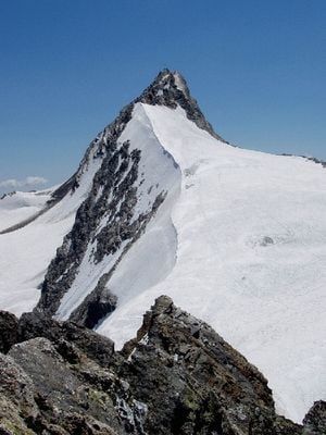
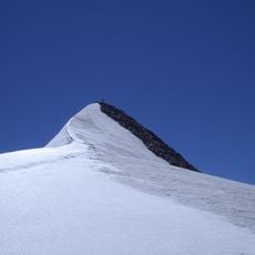
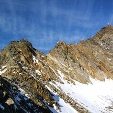
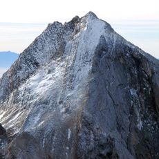
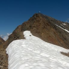
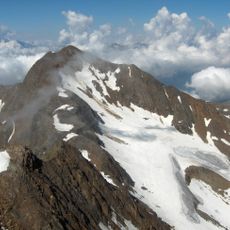
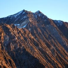
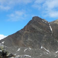
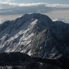
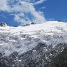
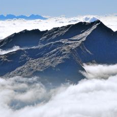
Hochwilde is a mountain summit on the border between Tyrol and South Tyrol featuring two distinct peaks, with the southern peak reaching approximately 3480 meters as the highest point. The northern peak stands at about 3458 meters, and both together form a distinctive ridge formation.
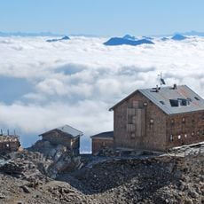
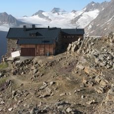
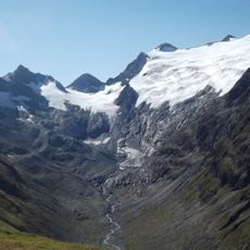
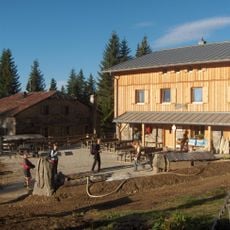
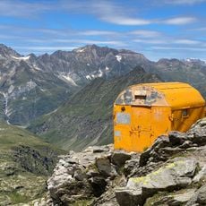
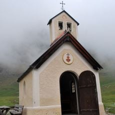
The mountain has long served as a border marker between Austrian and Italian territories and has been a reference point for travelers crossing the Alps for centuries. The Rifugio Petrarca shelter, built in 1897, made the challenging high mountain crossing safer for mountaineers.
The mountain carries different names across the border: Hochwilde in German-speaking areas and Cima Altissima in Italian-speaking communities, reflecting the shared history of this frontier region. Both names appear on maps and in local guides depending on which side you approach from.
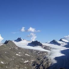
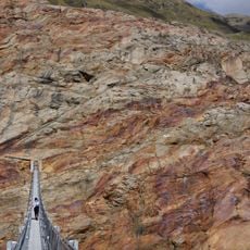
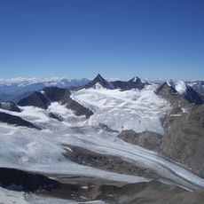
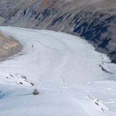
Climbing to the summit requires a multi-day expedition, with emphasis on traveling light during the day and resting in mountain shelters overnight. Summer months offer the best conditions for the climb, when snow and ice are minimal and the routes are safer to navigate.
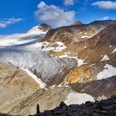
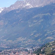
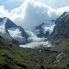
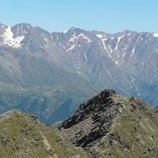
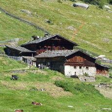
The area is known for sharp transitions between milder valleys and high alpine zones, resulting in surprisingly different plant and animal life within a small area. This variety makes hiking here an experience of constantly changing surroundings.
The community of curious travelers
AroundUs brings together thousands of curated places, local tips, and hidden gems, enriched daily by 60,000 contributors worldwide.