Rotmoosferner, Alpine glacier in Sölden, Austria
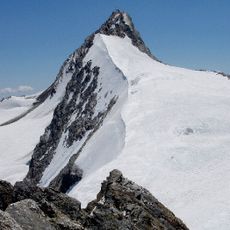
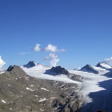
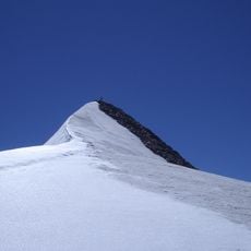
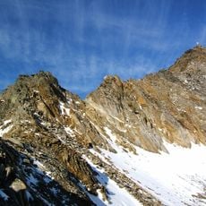
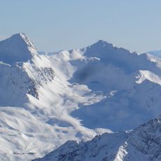
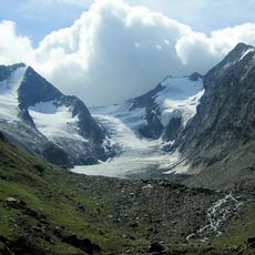
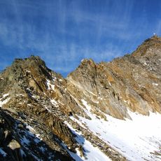
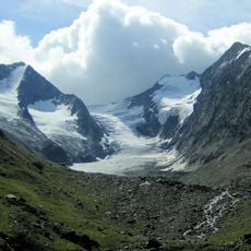
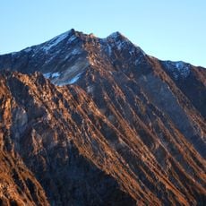
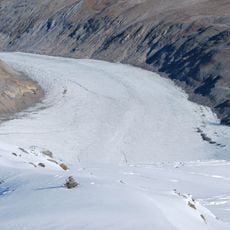
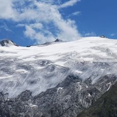
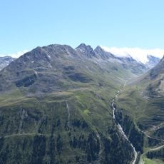
Rotmoosferner is a glacier at the head of the Rotmoostal in the Ötztal Alps of Tyrol. In 2010 it covered about 3 km² between roughly 3400 and 2400 m, flowing some 3 km north from the Gurgler Kamm below the Liebenerspitze (3399 m), Heuflerkogel (3238 m) and Trinkerkogel (3160 m). Up to 28% of its surface is covered by dark cryoconite dust, which melts hollows into the ice.
The glacier reached its maximum size in the 1800s, marked by moraine deposits that remain visible today, and has been shrinking steadily since then. This retreat is part of the broader pattern of alpine glaciers receding across the region over the past 150 years.
Local visitors and mountaineers view this area as a gateway to high alpine terrain, where the landscape reveals the raw character of mountain life and environmental changes. The names of surrounding valleys and peaks reflect the region's deep connection to its mountain heritage.
The Rotmoosferner is reached on foot from the Rotmoostal; no road or bus service goes up to the ice. The 1858 end moraine at about 2300 m marks the former glacier limit and is a useful orientation point. The terrain is steep and the weather changeable, so sturdy footwear and mountain clothing are needed.
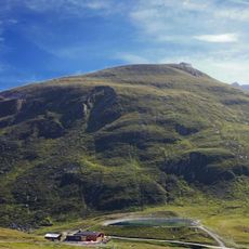
The glacier's forefield hosts a striking example of natural recovery, where hardy alpine plants like saxifrages and grasses colonize areas that were under ice just decades ago. These emerging ecosystems show how quickly vegetation can establish itself on newly exposed terrain.
The community of curious travelers
AroundUs brings together thousands of curated places, local tips, and hidden gems, enriched daily by 94,919 contributors worldwide.