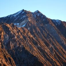
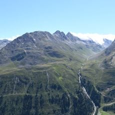
Granatenkogel, Mountain peak in Ötztal Alps, Austria and Italy
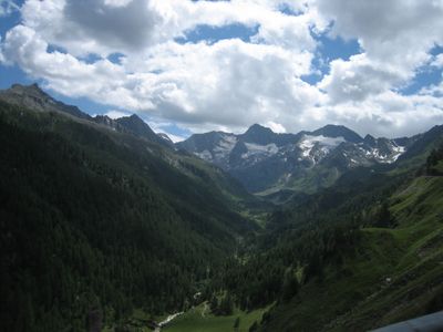
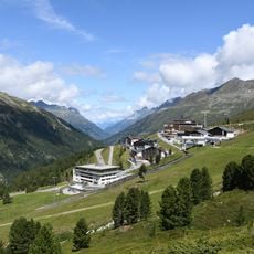
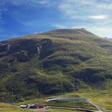
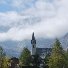
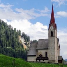
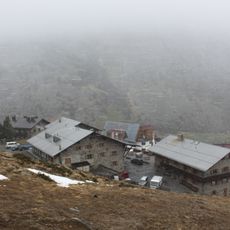
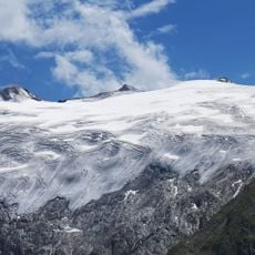
Granatenkogel is a peak in the Ötztal Alps with an elevation of 3,318 meters (10,885 feet) and forms the natural border between Tyrol in Austria and South Tyrol in Italy. It can be accessed from two base locations: the Austrian town of Sölden on one side and the Italian municipality of Moos in Passeier on the other.
During World War II, military surveyors mapped the mountain, with the British Ordnance Survey producing strategic documentation in 1943. This mapping effort was part of broader surveying work carried out in alpine border regions during the war.
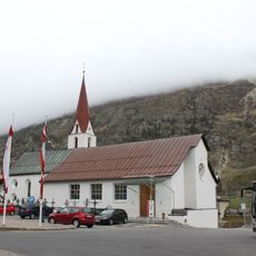
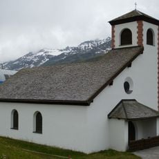
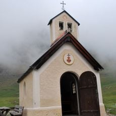
The mountain is valued by local climbers and hikers across the border region and carries two names reflecting this duality: Granatenkogel in German and Monte dei Granati in Italian. This naming reflects the bilingual heritage of communities on both sides who share the same peaks for recreation.
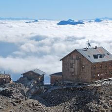
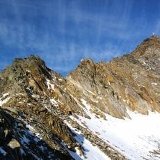
The mountain can be reached from the access points in Sölden or Moos in Passeier and requires mountaineering experience and proper equipment. Visitors should expect variable weather conditions at high altitude and plan accordingly.
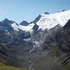
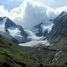
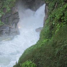
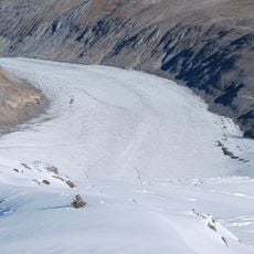
The slopes are marked by multiple glacial formations that contribute to the geological makeup of the Ötztal region. These ice-carved features show the long-term effects of glaciation that have shaped the landscape over millennia.
The community of curious travelers
AroundUs brings together thousands of curated places, local tips, and hidden gems, enriched daily by 60,000 contributors worldwide.