·

Enable Location

We need your location to show you interesting places around you

Discover nearby places

Find interesting locations and hidden gems around you

Precise directions

Get accurate directions and distances to places

Your location is never shared with other users. It's only used when you tap the location button.

Texelspitze

Log in to your account

Start exploring — it's free

Trusted by 62,654 travelers worldwide

Continue with Google
Continue with Apple
or

We will send you a code to connect

By continuing, you accept our Terms and Conditions and our Privacy Policy

Check your inbox

We've sent a pincode in your inbox. Please enter the code below.

Texelspitze

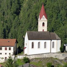
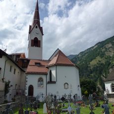
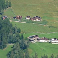
Texelspitze, Mountain summit in South Tyrol, Italy

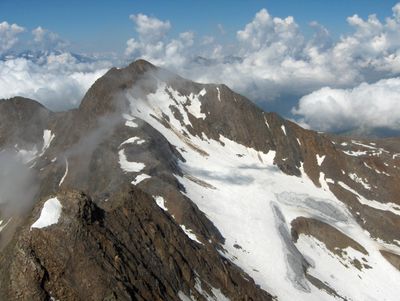
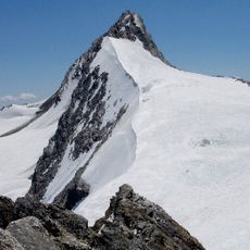
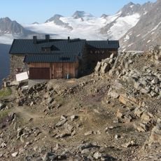
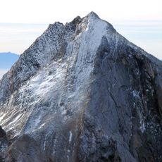
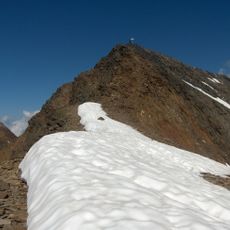
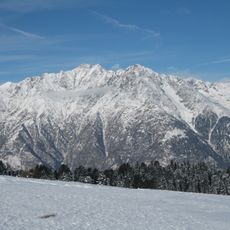
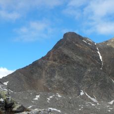
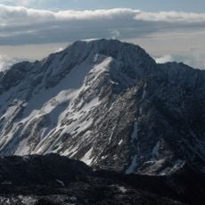
Texelspitze is a mountain in South Tyrol that reaches approximately 3,300 meters and serves as the second highest peak of the Texel Group in the Ötztal Alps. The southeast face provides the main approach to the summit and demands climbing experience, particularly through technically challenging sections.

The first documented ascent of the mountain took place in 1871 when Theodor Petersen and guides L. Ennemoser and J. Hellriegl reached the summit. This early climb was part of the 19th century Alpine exploration movement, when many high peaks were being scaled for the first time.

The mountain carries two distinct names across the region: Texelspitze in German-speaking areas and Cima Tessa in Italian-speaking territories. This linguistic split reflects South Tyrol's cultural identity, where both languages coexist in everyday life.

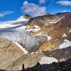
The best time to climb is during the summer months when weather is more stable and snow no longer blocks the slopes. Bring warm clothing and solid gear, as conditions at higher elevations can change rapidly.

A geocaching point with code GC5ZMKZ was installed at the summit in 2015, inviting climbers to engage in treasure hunting during their ascent. This modern activity blends traditional mountaineering with contemporary digital exploration.

The community of curious travelers

AroundUs brings together thousands of curated places, local tips, and hidden gems, enriched daily by 60,000 contributors worldwide.

Start exploring
Elevation above the sea
3,318 m
GPS coordinates
46.71940,10.97183
Latest update
December 14, 2025 16:41
« Texelspitze - Mountain summit in South Tyrol, Italy » is provided by Around Us (aroundus.com). Images and texts are derived from Wikimedia project under a Creative Commons license. You are allowed to copy, distribute, and modify copies of this page, under the conditions set by the license, as long as this note is clearly visible.

Discover hidden gems everywhere you go!

From secret cafés to breathtaking viewpoints, skip the crowded tourist spots and find places that match your style. Our app makes it easy with voice search, smart filtering, route optimization, and insider tips from travelers worldwide. Download now for the complete mobile experience.

Around Us App Screenshot

A unique approach to discovering new places

Le Figaro

All the places worth exploring

France Info

A tailor-made excursion in just a few clicks

20 Minutes

Around Us
Travel Guide & Maps
Download

Send to your phone

QR Code
1

Open the camera app on your mobile.

2

Point at the QR code with your camera. A notification will appear.

3

Tap the notification to open the link.