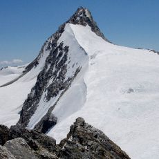
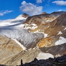
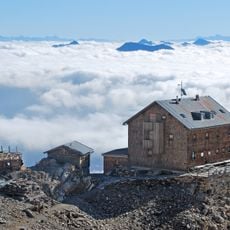
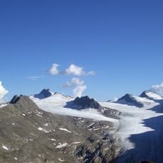
Hohe Weisse, Mountain summit in South Tyrol, Italy
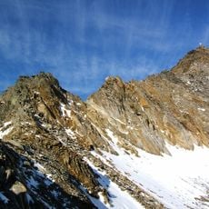
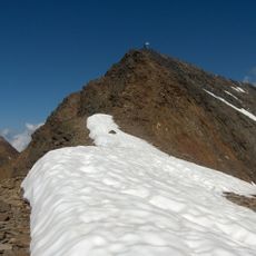
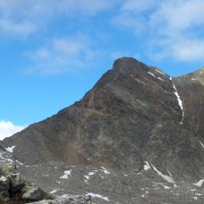
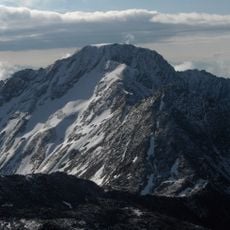
Hohe Weisse is a mountain summit in the Ötztal Alps that rises to 3,281 meters (10,764 feet) and belongs to the Texel group. The peak sits near the Austrian border and can be reached via established hiking routes from the surrounding valleys.
The first documented ascent was made in 1871 by Victor Hecht and Rochus Raffeiner. The mountain's name appears as Hochweis Spiz in the Atlas Tyrolensis, compiled between 1760 and about 1770. Today's normal route starts at the Eisjöchl and climbs over the Grafscharte and the steep north flank to the summit.
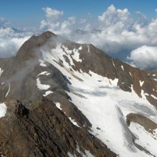
The name Hochweis Spiz appears in the Atlas Tyrolensis, made between 1760 and about 1770. Locals say Hoachwáis in dialect. The name likely refers to the year-round firn on its flanks and to the limestone rock that makes the summit look paler than neighbouring Ötztal peaks.
The climb from the valley takes roughly four hours and follows marked trails starting from Plan in Val Passiria. The terrain demands sure footing and experience navigating rocky mountain ground.
The name Hochweiße refers to the mountain's year-round firn on its flanks and its limestone rock, which makes the summit appear noticeably lighter than other peaks of the Ötztal Alps. The name is first recorded as Hochweis Spiz in the Atlas Tyrolensis, made between 1760 and about 1770; locally Hoachwáis is used.
The community of curious travelers
AroundUs brings together thousands of curated places, local tips, and hidden gems, enriched daily by 94,579 contributors worldwide.