Enable Location

We need your location to show you interesting places around you

Discover nearby places

Find interesting locations and hidden gems around you

Precise directions

Get accurate directions and distances to places

Your location is never shared with other users. It's only used when you tap the location button.

Hinterer Brunnenkogel

Log in to your account

Start exploring — it's free

Trusted by 65,753 travelers worldwide

Continue with Google
Continue with Apple
or

We will send you a code to connect

By continuing, you accept our Terms and Conditions and our Privacy Policy

Check your inbox

We've sent a pincode in your inbox. Please enter the code below.

Hinterer Brunnenkogel
Discussion Reviews 1 Photos
3.3k Popularity

Hinterer Brunnenkogel, Mountain peak in Ötztal Alps, Austria

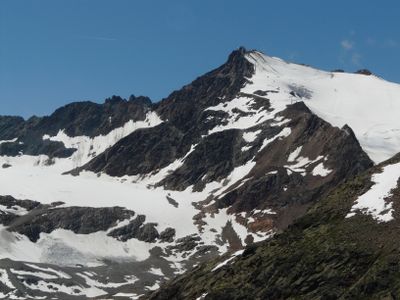
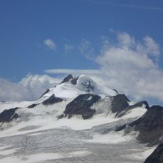
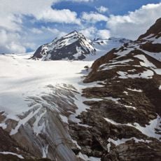
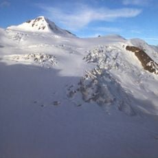
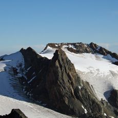
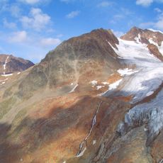
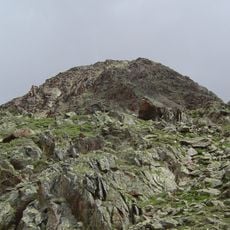
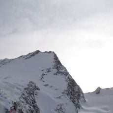
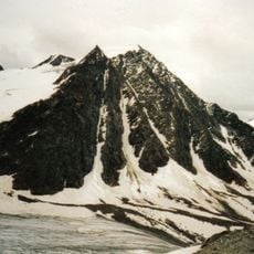
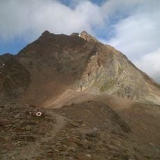
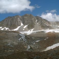
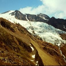
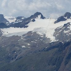
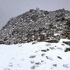
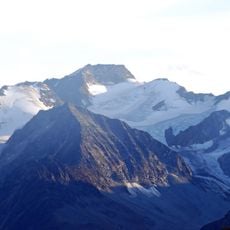
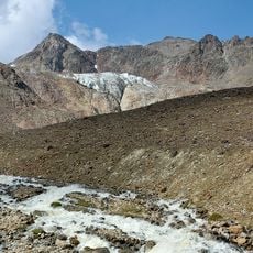
Hinterer Brunnenkogel is a mountain summit in the Oetztal Alps of Austria, reaching about 3438 meters and surrounded by rocky ridges and glaciated terrain. The ascent involves sections of exposed rock that require solid footing and basic alpine equipment.

The summit was first reached in July 1873, making it one of the early ascents recorded in the Oetztal Alps during the golden age of alpine exploration. That first climb helped open the way for the development of routes across this part of the range.

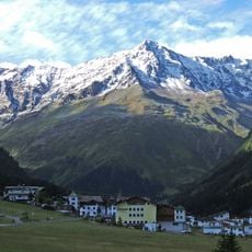
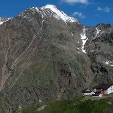
In Tyrol, heading into the high mountains is a normal part of local life, and the huts around this peak serve as meeting points for climbers of all levels. The routes here are part of a wider network that people in the region have been using for generations.

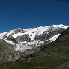
A cable car serving the area brings visitors close to the starting point of the ascent, which is the most practical way to access higher ground. Solid mountain boots and full alpine gear are necessary for this summit, and summer generally offers the most stable conditions.

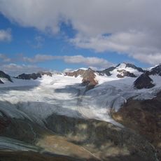
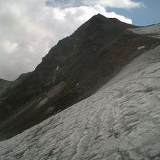
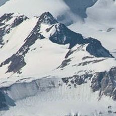
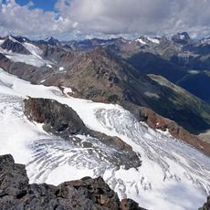
The peak sits on a high-altitude route that links several neighboring summits and is tackled by experienced climbers as a multi-day traverse. This crossing demands more technical skill than a standard summit approach and passes through remote terrain well away from the usual paths.

The community of curious travelers

AroundUs brings together thousands of curated places, local tips, and hidden gems, enriched daily by 60,000 contributors worldwide.

Start exploring
Location
Elevation above the sea
3,438 m
GPS coordinates
46.91263,10.86133
Latest update
March 3, 2026 13:58
Reviews
Share your experience

No review yet

Discussions
Start a discussion...

No discussion yet

« Hinterer Brunnenkogel - Mountain peak in Ötztal Alps, Austria » is provided by Around Us (aroundus.com). Images and texts are derived from Wikimedia project under a Creative Commons license. You are allowed to copy, distribute, and modify copies of this page, under the conditions set by the license, as long as this note is clearly visible.

Discover hidden gems everywhere you go!

From secret cafés to breathtaking viewpoints, skip the crowded tourist spots and find places that match your style. Our app makes it easy with voice search, smart filtering, route optimization, and insider tips from travelers worldwide. Download now for the complete mobile experience.

Around Us App Screenshot

A unique approach to discovering new places

Le Figaro

All the places worth exploring

France Info

A tailor-made excursion in just a few clicks

20 Minutes

Around Us
Travel Guide & Maps
Download

Send to your phone

QR Code
1

Open the camera app on your mobile.

2

Point at the QR code with your camera. A notification will appear.

3

Tap the notification to open the link.