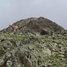
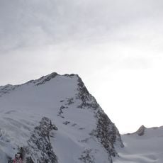
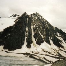
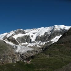
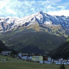
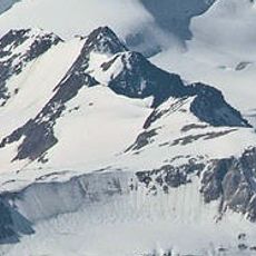
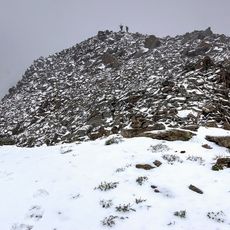
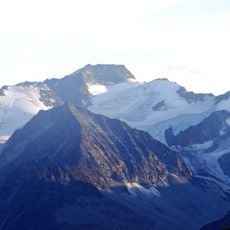
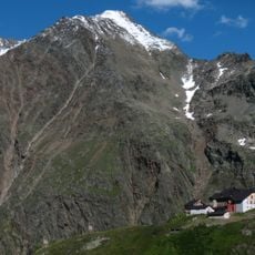
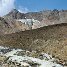
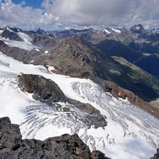
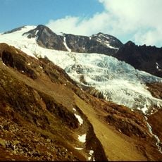
Ötztaler Urkund, Mountain summit in Sankt Leonhard im Pitztal, Austria.
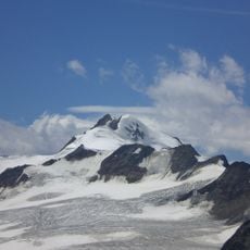
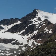
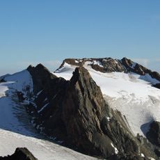
Ötztaler Urkund is a 3554 m rocky summit in the Weißkamm of the Ötztal Alps, 600 m southeast of the Wildspitze. It forms part of the Wildspitze south ridge and is crossed on the ascent via that ridge. The peak is a rock head reached from the Breslauer Hütte over the Urkundkolm, with one exposed UIAA III section.
The Ötztaler Urkund has no recorded history of its own; it appears in mountaineering literature as a waypoint on the Wildspitze south-ridge route from the Breslauer Hütte above Vent. Walter Klier's Alpenvereinsführer Ötztaler Alpen (14th edition, Bergverlag Rother, 2006) describes the crossing, and the Alpenvereinskarte 1:25,000 sheet 30/1 Ötztaler Alpen, Gurgl covers the peak.
The peak lies on the Wildspitze south ridge and is crossed on the standard ascent from the Breslauer Hütte above Vent, reached over the Urkundkolm with one exposed UIAA III climbing passage. Many climbers also take the easier north ridge route over the crevassed Rofenkarferner. The name appears on the 1:25,000 Alpine Club map sheet 30/1 Ötztaler Alpen, Gurgl.
The usual route starts at Breslauer Hütte (2844 m) above Vent and crosses the Urkundkolm to the summit, with one exposed UIAA III climbing section; the walk to the Wildspitze south summit takes about 4½ hours. An easier alternative is the north ridge (UIAA I) via the crevassed Rofenkarferner. The summit is a rocky head on the Wildspitze south ridge and is traversed on that route.
The summit is a rock head on the Wildspitze's south ridge, crossed by climbers heading to the south summit of the Wildspitze (3768 m). From the Breslauer Hütte the route climbs over the Urkundkolm with one exposed UIAA III passage, then descends into the Urkundsattel. An easier alternative runs over the crevassed Rofenkarferner and the north ridge at UIAA grade I.
The community of curious travelers
AroundUs brings together thousands of curated places, local tips, and hidden gems, enriched daily by 92,840 contributors worldwide.