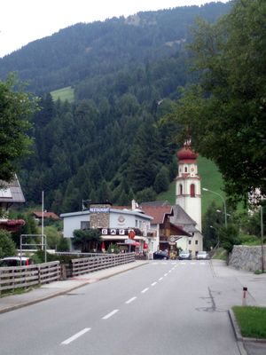
Gries am Brenner, municipality in Innsbruck-Land District, Tyrol, Austria
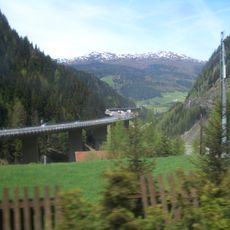
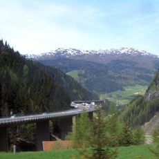
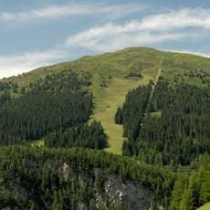
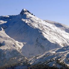
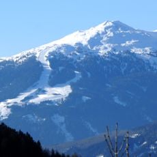
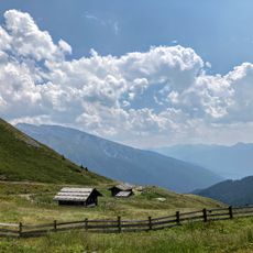
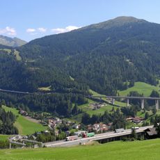
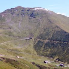
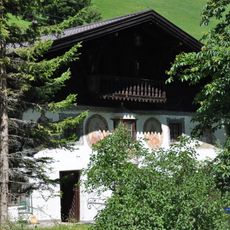
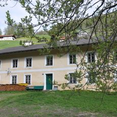
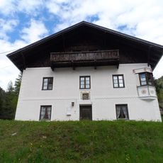
Gries am Brenner is a small settlement in the Wipptal valley in North Tyrol, located at about 1,165 meters (3,822 feet) elevation. The area consists of scattered farmhouses and hamlets including Vinaders and Leug, surrounded by rolling meadows, larch and conifer forests, and steep mountain slopes.
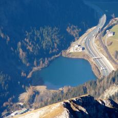
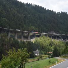
The settlement developed as a stopping point for travelers crossing the Brenner Pass since Roman times, expanded by medieval merchants and settlers seeking security on this important trade route. Strategic fortifications like Burg Lueg and Schlossögg were built to control traffic and collect customs, while silver, lead, and zinc mining sustained the local economy for centuries until roads and the modern motorway shifted its economic focus to tourism.
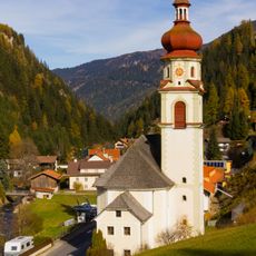
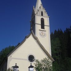
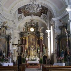
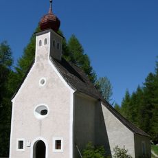
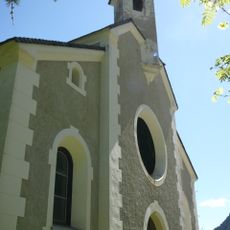
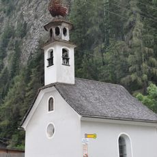
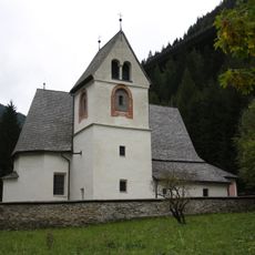
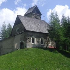
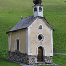
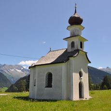
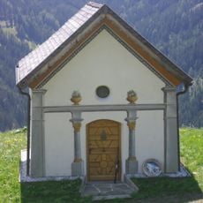
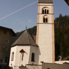
The place is shaped by its connection to mountain life and local Tyrolean traditions. The four churches scattered through the area showcase Gothic and Baroque architecture and serve as gathering points where visitors can sense the community's spiritual and cultural rhythms.
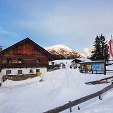
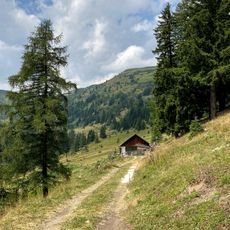
The place is easily reached by car via the B182 road or by train on the mountain railway connecting to Innsbruck and Italy. Visitors should bring warm clothing, especially in winter, and plan to use well-marked hiking trails and mountain huts scattered throughout the area as bases for day trips to nearby lakes and peaks.
Notable figures like actor Tobias Moretti and alpine ski champion Günther Mader were born in or near this small place, bringing it regional recognition. The historic Lueg Bridge has been undergoing major reconstruction since 2025, reflecting the ongoing modernization of this mountain region while respecting its heritage.
The community of curious travelers
AroundUs brings together thousands of curated places, local tips, and hidden gems, enriched daily by 60,000 contributors worldwide.