Wolfendorn, Mountain summit in Zillertal Alps, Austria and Italy
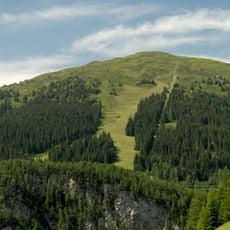
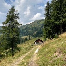
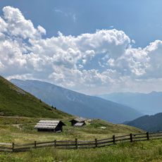
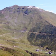
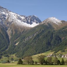
Wolfendorn is a mountain peak on the border between Tyrol and South Tyrol, standing at 2776 meters. The mountain has steep rocky slopes with diverse vegetation and connects three main valleys through marked hiking routes.
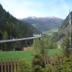
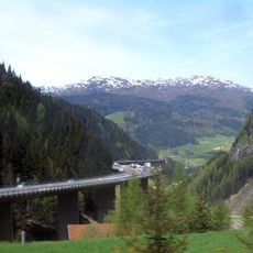
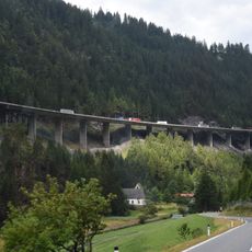
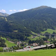
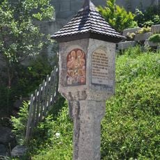
The mountain sits on an ancient route that once connected communities on the Austrian and Italian sides of the border. Evidence of old pathways shows that people have crossed this area for centuries.
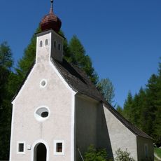
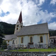
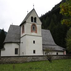
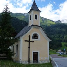
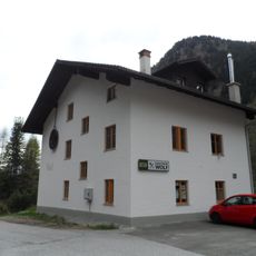
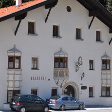
The villages below the mountain maintain Alpine traditions through regional crafts and local festivals that celebrate mountain life and border heritage. Visitors can see how communities here blend Austrian and Italian customs in their daily lives and celebrations.
The best access is from the valleys below, with hiking times ranging from three to five hours depending on your chosen route. Proper footwear and a map are essential as the terrain becomes steep at higher elevations and weather can change quickly.
The summit carries two names reflecting its border location: Wolfendorn in German and Spina di Lupo in Italian, both meaning 'wolf's tooth'. This dual naming shows how geography has shaped the distinct identities of the two sides.
The community of curious travelers
AroundUs brings together thousands of curated places, local tips, and hidden gems, enriched daily by 60,000 contributors worldwide.