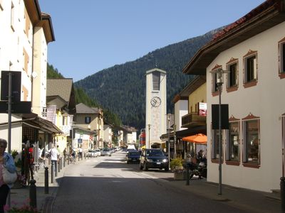
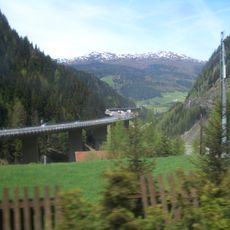
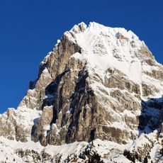
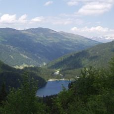
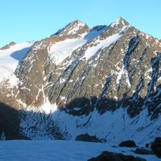
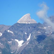
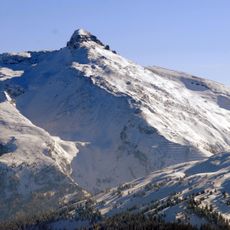
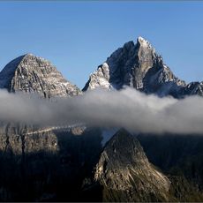
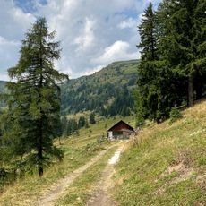
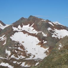
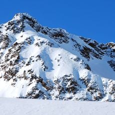
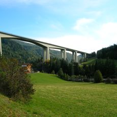
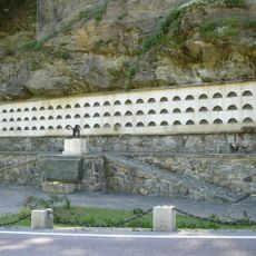
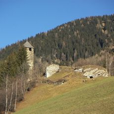
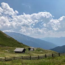
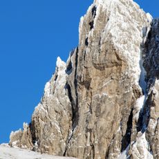
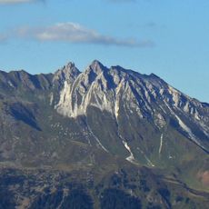
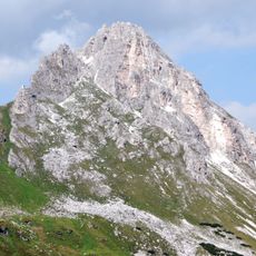
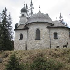
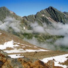
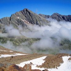
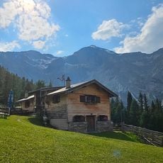
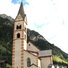
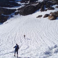
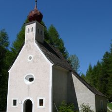
Brenner, municipality in South Tyrol, Italy
Location: South Tyrol
Capital city: Gossensass
Elevation above the sea: 1,374 m
Shares border with: Ratschings, Pfitsch, Sterzing, Gries am Brenner, Gschnitz, Neustift im Stubaital, Obernberg am Brenner
Website: http://comunebrennero.eu
GPS coordinates: 46.93891,11.44517
Latest update: March 4, 2025 17:32
Brenner Autobahn
9.1 km
Tribulaun di Fleres
9.6 km
Obernberger See
6.6 km
Feuerstein
15.7 km
Parete Bianca
12.1 km
Wolfendorn
8.7 km
Tribulaun
9.8 km
Sattelalm
8.3 km
Monte della Neve
14.9 km
Agglsspitze
15.6 km
Colle Isarco Viaduct
762 m
Military shrine of Gossensaß
213 m
Strassberg Castle
1.5 km
Wechselalm
5.6 km
Goldkappl
10.3 km
Telfer Weißen
7.4 km
Gargglerin
11.8 km
Seekapelle
6.7 km
Innere Wetterspitze
16.4 km
Wetterspitze
9.5 km
Hoher Zahn
11.6 km
Maria Unbefleckte Empfängnis
7 m
Pflerscher Pinggl
11.3 km
Äußere Wetterspitze
16.4 km
Steineralm
5.7 km
Hl. Antonius Abt
8 km
Simmingferner
14.4 km
Wolfenkapelle
7.1 kmReviews
Visited this place? Tap the stars to rate it and share your experience / photos with the community! Try now! You can cancel it anytime.
Discover hidden gems everywhere you go!
From secret cafés to breathtaking viewpoints, skip the crowded tourist spots and find places that match your style. Our app makes it easy with voice search, smart filtering, route optimization, and insider tips from travelers worldwide. Download now for the complete mobile experience.
A unique approach to discovering new places❞
— Le Figaro
All the places worth exploring❞
— France Info
A tailor-made excursion in just a few clicks❞
— 20 Minutes