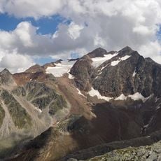
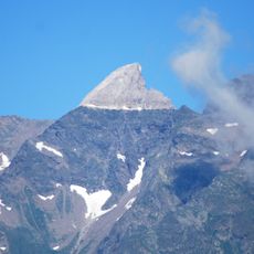
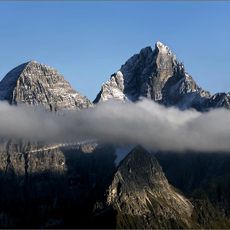
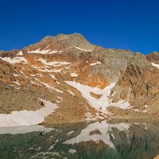
Innere Wetterspitze, Mountain summit in Stubai Alps, Austria
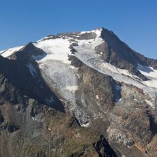
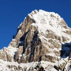
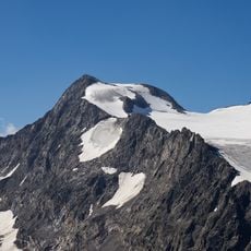
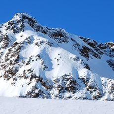
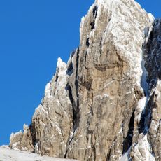
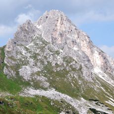
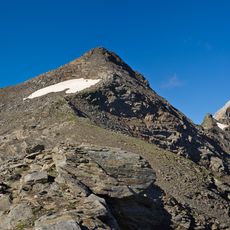
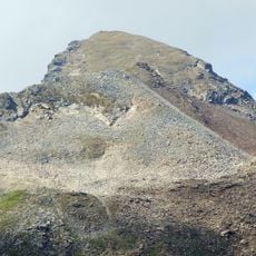
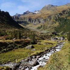
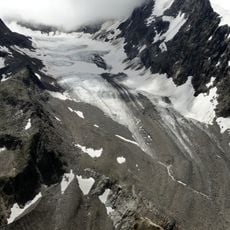
Innere Wetterspitze is a mountain summit standing at 3053 meters between the Stubai and Gschnitztal valleys, forming a distinct pyramid shape. The peak sits along the Habichtkamm ridge and offers multiple climbing routes with varying technical demands.
The sources record no ascent history for the Innere Wetterspitze; its documented past is cartographic and guidebook-based. It appears in Walter Klier's Alpine Club guide to the Stubai Alps (Bergverlag Rother, Munich, 2006) and on Alpine Club map sheet 31/1 at 1:25,000 (Hochstubai). The peak's 3,053 m height is given in metres above the Adriatic (m ü. A.).
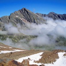
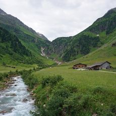
The two Wetterspitzen are separated by the Lautererseejoch, and the Habichtkamm ridge they sit on branches off the main Alpine chain near the Feuerstein and runs northeast to the Elferspitze. Climbers based at the Bremer Hut reach the summit by the east flank, the Schneekachl and the north arête, or by the waymarked eastern arête secured in places.
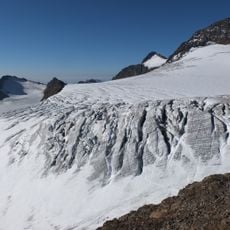
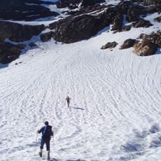
The easiest route leaves the Bremer Hut, crosses the east flank and the Schneekachl, then follows the north arête to the summit in three hours at UIAA grade I. A waymarked path along the eastern arête is secured in places but very exposed and needs UIAA grade II climbing; from the hut it takes two hours.
The two Wetterspitzen are separated by the Lautererseejoch, and the slightly higher Äußere Wetterspitze reaches 3,070 m. Both peaks sit on the Habichtkamm, a ridge that branches off the main Alpine chain near the Feuerstein and runs northeast to the Elferspitze.
The community of curious travelers
AroundUs brings together thousands of curated places, local tips, and hidden gems, enriched daily by 92,756 contributors worldwide.