Gargglerin, Mountain summit in Gschnitz, Austria.
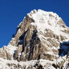
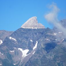
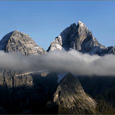
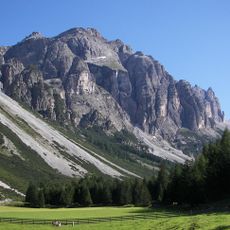
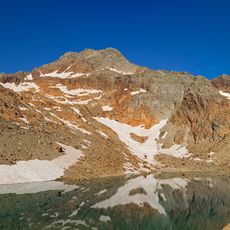
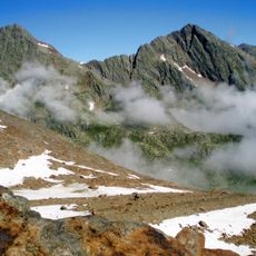
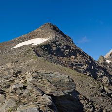
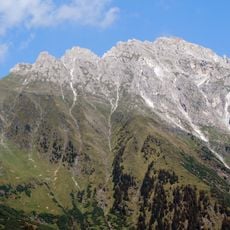
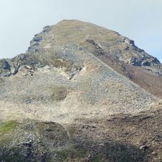
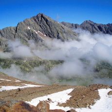
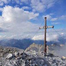
The Gargglerin rises to 2,470 meters above sea level in the Stubai Alps, featuring rugged dolomite rock formations and offering panoramic views across the Tyrolean mountain ranges.
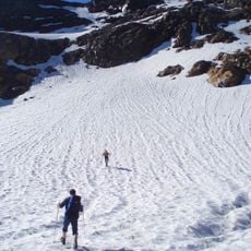
The first recorded ascent took place on 1 July 1874, according to the source that gives a date for the climb. The mountain lies in the Stubai Alps of Tyrol, and its easiest route later became the marked path from the Badlerscharte, a 2,350 m saddle between the Gschnitz and Sandes valleys. A second approach from Obertal over the northwest flank was long closed by a rockfall and was rerouted in 2010.
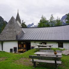
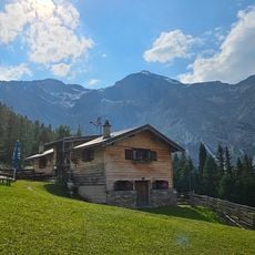
The peak is climbed from the Tribulaunhütte at 2,064 m in the Sandestal, the main base for the ascent. The normal route runs from the Badlerscharte saddle at 2,350 m, reached on a marked path from the Gschnitz hamlet of Obertal. A second approach from Obertal over the northwest flank was closed by a rockfall for years and reopened after being rerouted in 2010.
The normal route starts from the Badlerscharte, a 2,350 m saddle between the Gschnitz and Sandes valleys, reached by a marked path from Obertal via the Sandes valley; the Tribulaunhütte (2,064 m) often serves as a base. A second ascent from Obertal over the northwest flank to the saddle was long closed by a rockfall and reopened after being rerouted in 2010. The south and east walls hold climbing routes of grades II and III.
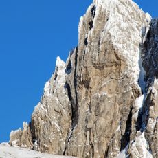
The mountain's geological composition features bright Hauptdolomit rock formations directly overlying crystalline bedrock including gneiss and mica schists, creating distinct layered cliff faces and jagged summit towers.
The community of curious travelers
AroundUs brings together thousands of curated places, local tips, and hidden gems, enriched daily by 92,759 contributors worldwide.